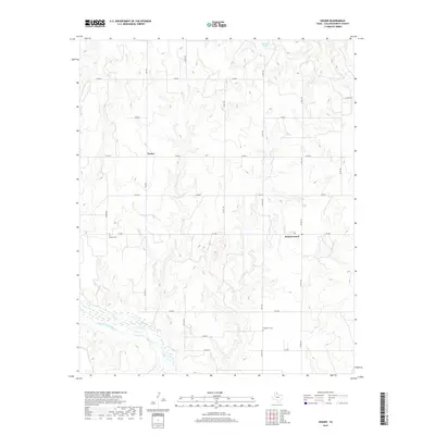
2019 Map of Dozier
USGS Topo · Published 2019About this map
Dozier and Samnorwood anchor this region of the Texas Panhandle, where the high plains are carved by the intricate drainage systems of the Salt Fork Red River. The landscape is defined by the convergence of several seasonal waterways, including Dozier Cr, Lake Cr, and Elm Cr, which cut through the local topography toward the river valley to the south. Historically significant landmarks such as Dozier Cem and Plymouth Cem reflect the area's settlement patterns, while Elm Creek Springs provides a rare point of natural hydrography in this semi-arid environment.
Find a feature on this map
21 named features on this map. Tap any name to fly to it.
Don’t see what you’re looking for? This feature index may not catch every label — zoom into the map to look around manually.
Map Details
Editions of this 2019 Dozier Map
This is the sole edition of this map. No revisions or reprints were ever made.
Other maps of this area

1954 · Amarillo
USGS Topo · 1:250,000

1954 · Plainview
USGS Topo · 1:250,000

1958 · Amarillo
USGS Topo · 1:250,000

1958 · Plainview
USGS Topo · 1:250,000

1959 · Wellington NW
USGS Topo · 1:24,000

1963 · Ramsdell
USGS Topo · 1:24,000

1963 · Shamrock East
USGS Topo · 1:24,000

1963 · Shamrock West
USGS Topo · 1:24,000

1964 · Rolla NE
USGS Topo · 1:24,000

1964 · Quail
USGS Topo · 1:24,000