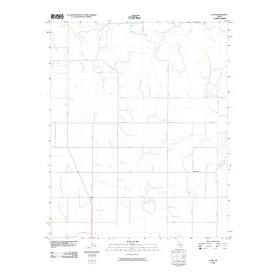
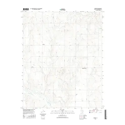
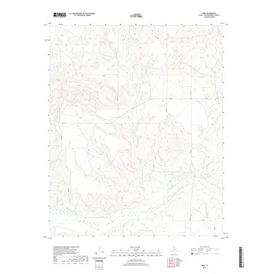
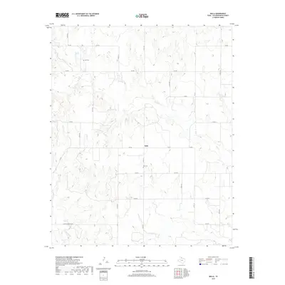
2022 Map of Dozier
USGS Topo · Published 2022About this map
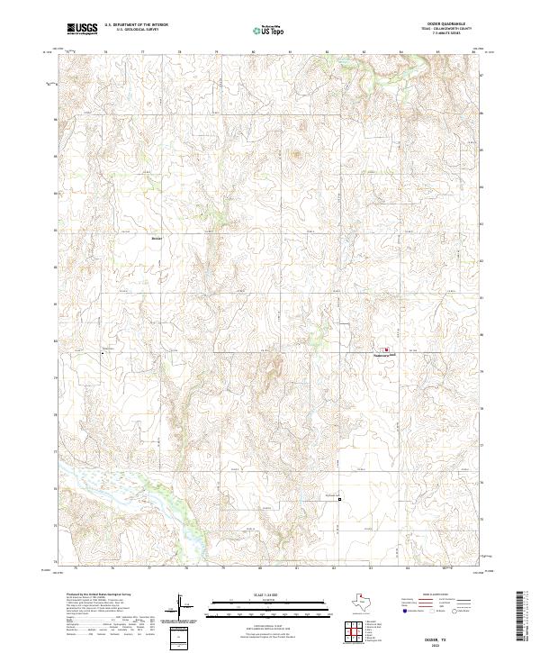
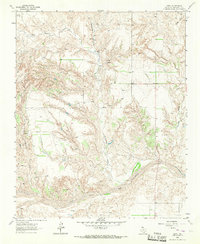
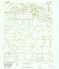
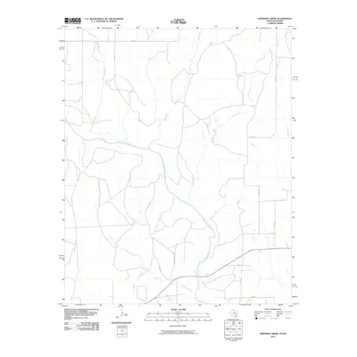
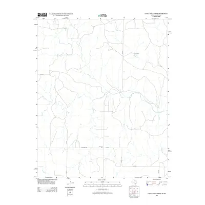
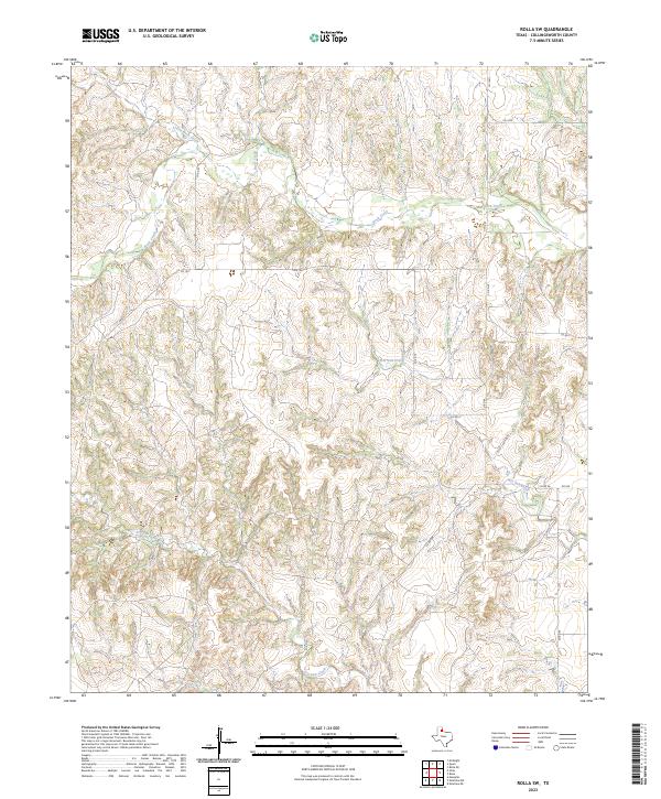
Dozier and Samnorwood anchor this survey of rural Collingsworth County, where the Texas Panhandle landscape is defined by the winding course of the Salt Fork Red River. The settlement pattern follows a grid of local roads, such as FM 1036 and FM 1547, connecting scattered homesteads to local landmarks like Dozier Cem and Plymouth Cem. The terrain is deeply carved by drainage systems, including Dozier Cr, Lake Cr, and Elm Cr, which flow toward the river basin. The presence of Elm Creek Springs in the northern portion of the quadrangle highlights the importance of natural water sources in this semi-arid ranching and farming region. This map provides a clear view of the intersection between human infrastructure and the natural topography of the eastern Panhandle, capturing the sparse but enduring rural community layout.
Find a feature on this map
29 named features on this map. Tap any name to fly to it.
Don’t see what you’re looking for? This feature index may not catch every label — zoom into the map to look around manually.
Map Details
Editions of this 2022 Dozier Map
This is the sole edition of this map. No revisions or reprints were ever made.
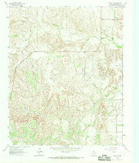
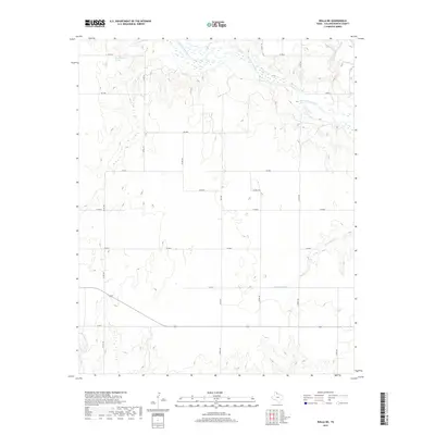
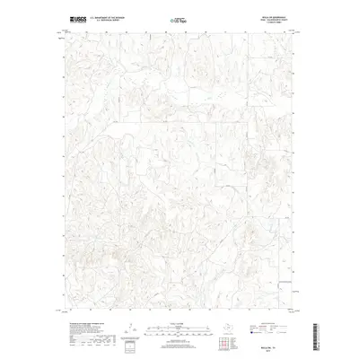
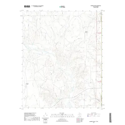
Historical Maps of Dozier Through Time
54 maps found
1959 Shinnery Creek
Collingsworth County, TX
1959 Wellington NW
Collingsworth County, TX
1963 Little Wolf Creek
Collingsworth County, TX
1964 Abra
Collingsworth County, TX
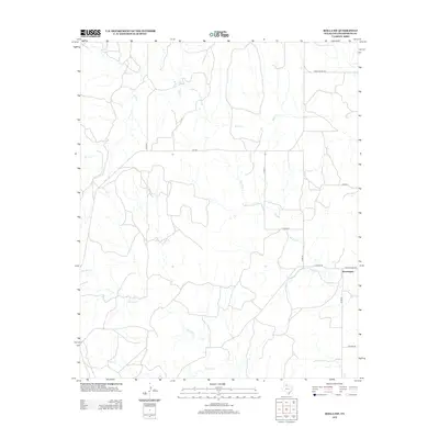
1964 Dozier
Collingsworth County, TX
1964 Lutie
Collingsworth County, TX
1964 Rolla
Collingsworth County, TX
1964 Rolla NE
Collingsworth County, TX
1964 Rolla SW
Collingsworth County, TX
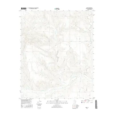
2010 Abra
Collingsworth County, TX
2010 Dozier
Collingsworth County, TX

2010 Little Wolf Creek
Collingsworth County, TX
2010 Lutie
Collingsworth County, TX
2010 Rolla
Collingsworth County, TX
2010 Rolla NE
Collingsworth County, TX
2010 Rolla SW
Collingsworth County, TX
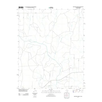
2010 Shinnery Creek
Collingsworth County, TX
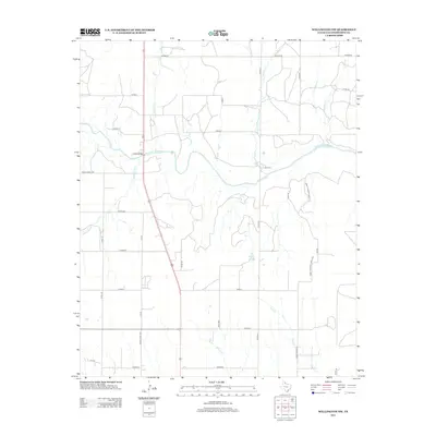
2010 Wellington NW
Collingsworth County, TX
2012 Abra
Collingsworth County, TX
2012 Dozier
Collingsworth County, TX
2012 Little Wolf Creek
Collingsworth County, TX
2012 Lutie
Collingsworth County, TX
2012 Rolla
Collingsworth County, TX
2012 Rolla NE
Collingsworth County, TX
2012 Rolla SW
Collingsworth County, TX
2012 Shinnery Creek
Collingsworth County, TX
2012 Wellington NW
Collingsworth County, TX
2016 Abra
Collingsworth County, TX
2016 Dozier
Collingsworth County, TX
2016 Little Wolf Creek
Collingsworth County, TX
2016 Lutie
Collingsworth County, TX
2016 Rolla
Collingsworth County, TX
2016 Rolla NE
Collingsworth County, TX
2016 Rolla SW
Collingsworth County, TX
2016 Shinnery Creek
Collingsworth County, TX
2016 Wellington NW
Collingsworth County, TX
2019 Abra
Collingsworth County, TX
2019 Dozier
Collingsworth County, TX
2019 Little Wolf Creek
Collingsworth County, TX
2019 Lutie
Collingsworth County, TX
2019 Rolla
Collingsworth County, TX
2019 Rolla NE
Collingsworth County, TX
2019 Rolla SW
Collingsworth County, TX
2019 Shinnery Creek
Collingsworth County, TX
2019 Wellington NW
Collingsworth County, TX
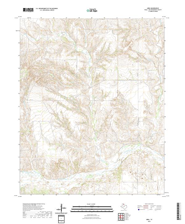
2022 Abra
Collingsworth County, TX
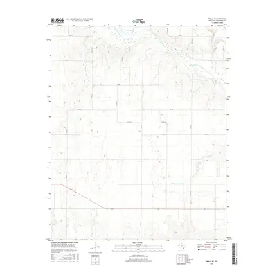
2022 Dozier
Collingsworth County, TX
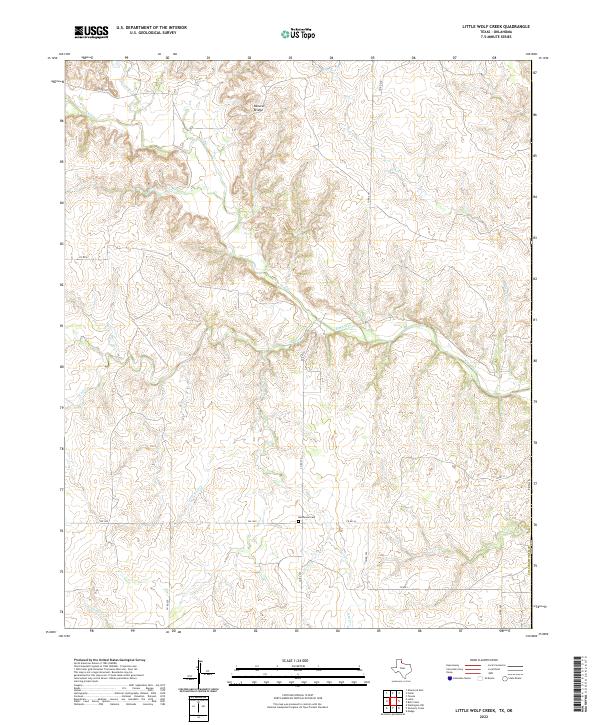
2022 Little Wolf Creek
Collingsworth County, TX
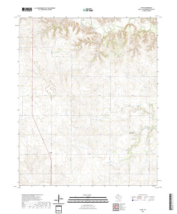
2022 Lutie
Collingsworth County, TX
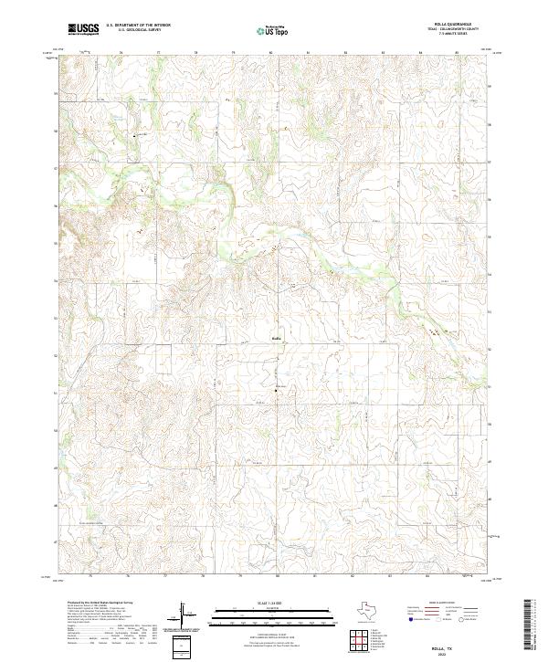
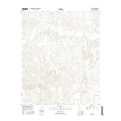
2022 Rolla
Collingsworth County, TX
2022 Rolla NE
Collingsworth County, TX
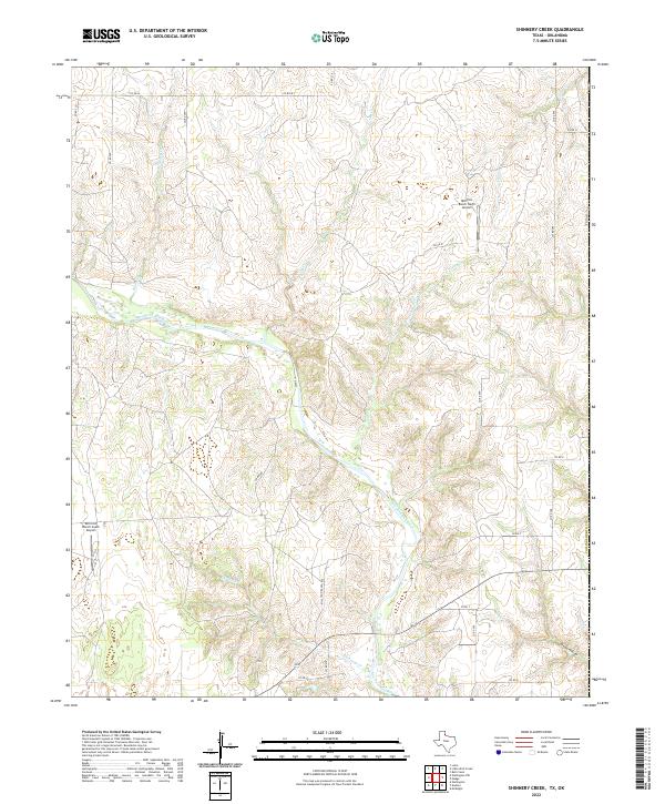
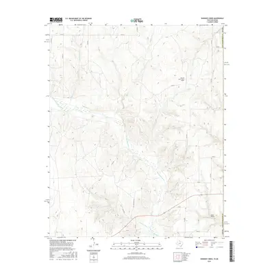
2022 Shinnery Creek
Collingsworth County, TX
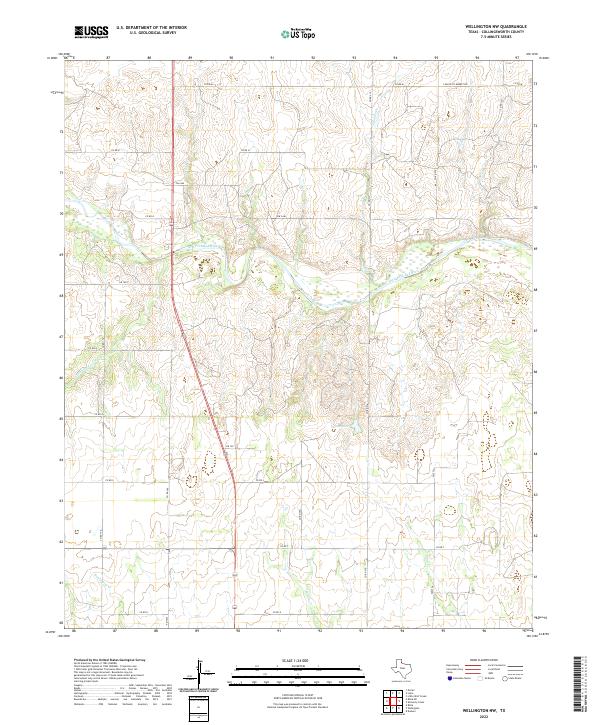
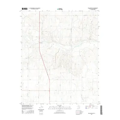
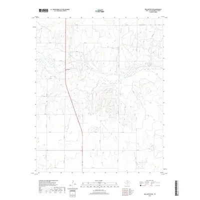
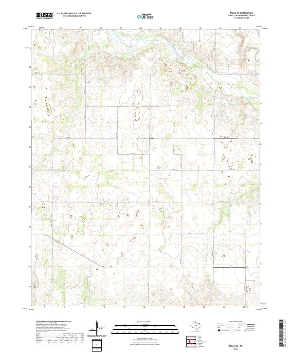
2022 Wellington NW
Collingsworth County, TX
2023 Rolla SW
Collingsworth County, TX