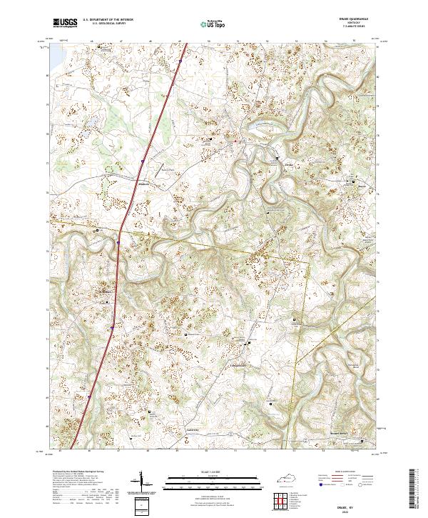
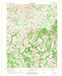
2022 Map of Drake
USGS Topo · Published 2022About this map
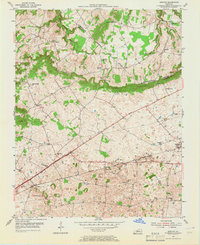
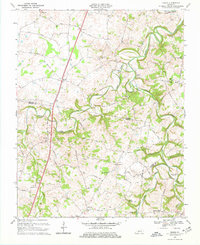
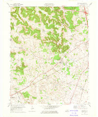
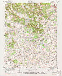
West Fork Drakes Creek and its many tributaries, including Lick Cr and Jakes Branch, wind through a landscape defined by small communities and numerous family-named burial grounds. The map highlights several long-standing rural congregations, such as Old Union Baptist Church and White Chapel United Methodist Church, which served as the social anchors for scattered settlements like Temperance, Matlock, and Gold City. The terrain transitions from the open flats of Plane-O-Field in the north toward the winding waters of Drakes Creek near Horseshoe Bend in the southeast.
Find a feature on this map
120 named features on this map. Tap any name to fly to it.
Don’t see what you’re looking for? This feature index may not catch every label — zoom into the map to look around manually.
Map Details
Editions of this 2022 Drake Map
This is the sole edition of this map. No revisions or reprints were ever made.
Historical Maps of Boyce Through Time
28 maps found
1952 Rockfield
Warren County, KY
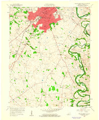
1954 Bowling Green North
Warren County, KY
1954 Bowling Green South
Warren County, KY
1954 Bristow
Warren County, KY
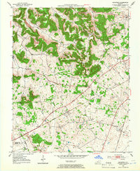
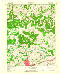
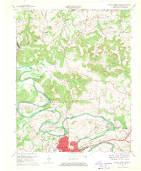
1954 Drake
Warren County, KY
1954 Hadley
Warren County, KY

1954 Meador
Warren County, KY
1954 Polkville
Warren County, KY
1959 Bowling Green North
Warren County, KY
1959 Bowling Green South
Warren County, KY
1965 Bristow
Warren County, KY
1965 Meador
Warren County, KY
1968 Bowling Green North
Warren County, KY
1968 Bowling Green South
Warren County, KY
1968 Drake
Warren County, KY
1973 Hadley
Warren County, KY
1973 Rockfield
Warren County, KY
1979 Rockfield
Warren County, KY
1993 Bowling Green North
Warren County, KY
1993 Bowling Green South
Warren County, KY
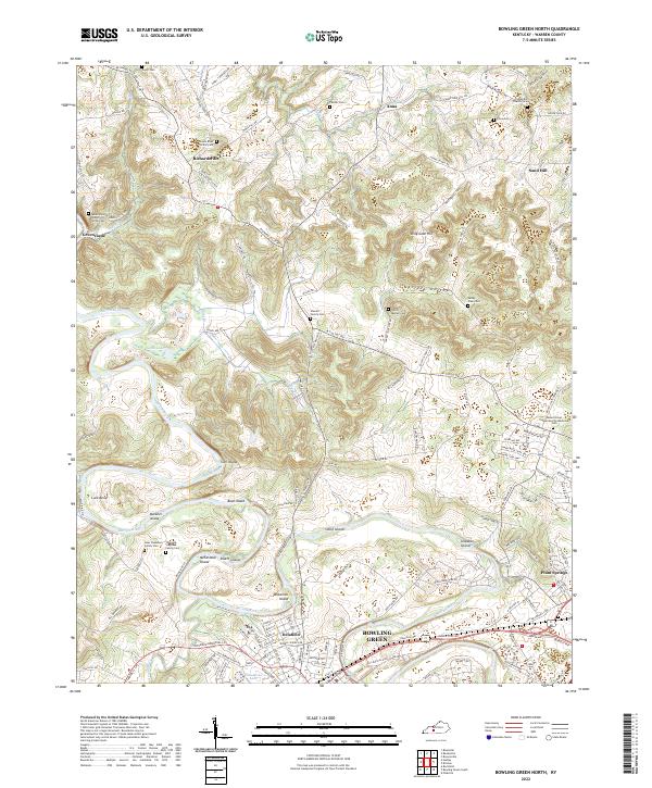
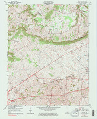
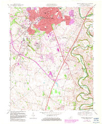
2022 Bowling Green North
Warren County, KY
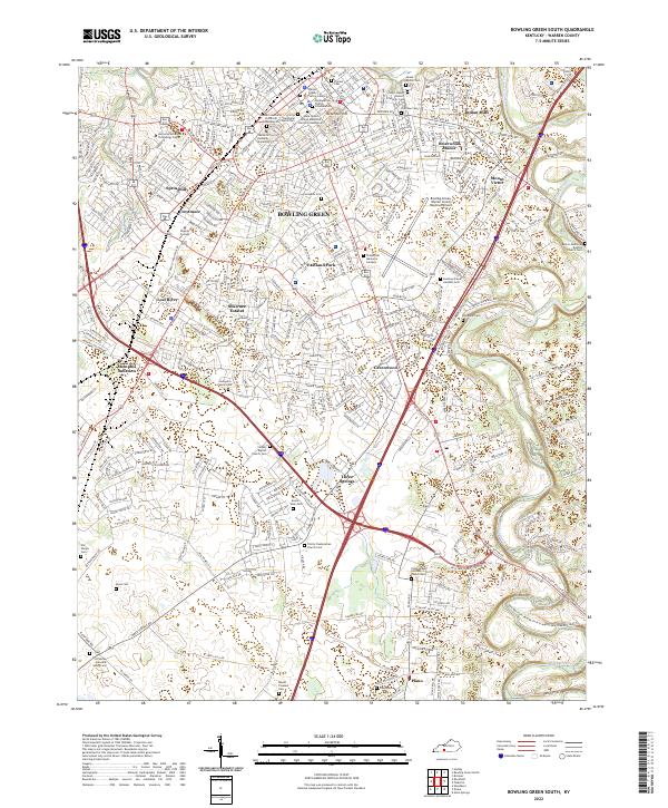
2022 Bowling Green South
Warren County, KY
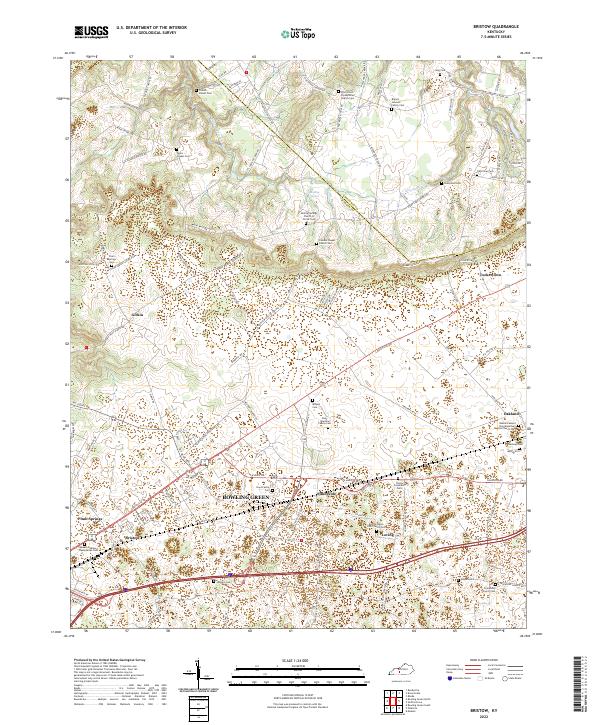
2022 Bristow
Warren County, KY
2022 Drake
Warren County, KY
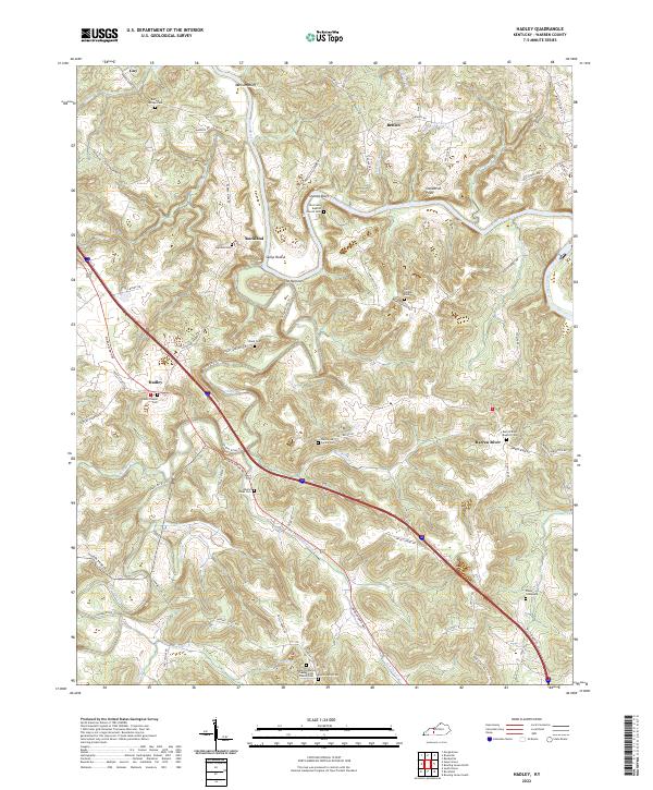
2022 Hadley
Warren County, KY
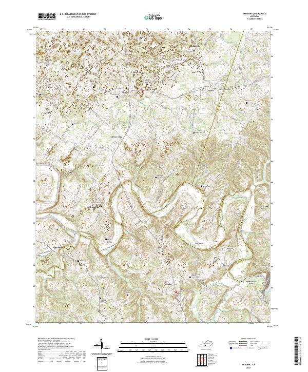
2022 Meador
Warren County, KY
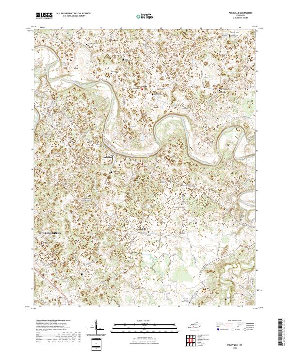
2022 Polkville
Warren County, KY
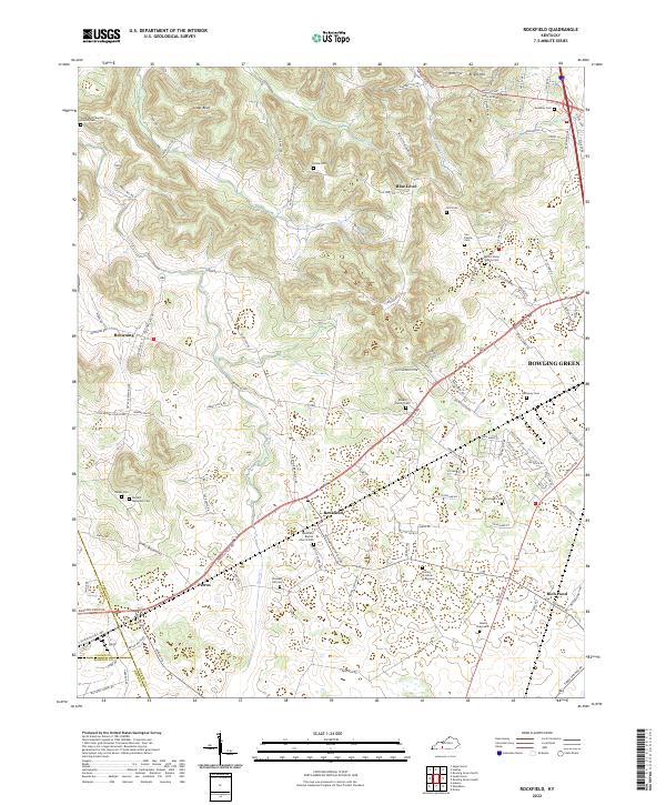
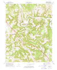
2022 Rockfield
Warren County, KY