
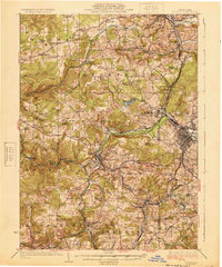
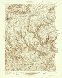
1924 Map of Du Bois
USGS Topo · Published 1924About this map
The industrial hub of Du Bois and the neighboring borough of Reynoldsville anchor this 1922 survey, showcasing the dense rail network of the Pennsylvania coalfields during the interwar years. A intricate web of tracks, including the Pittsburg and Shawmut RR, the Buffalo Rochester and Pittsburg RR, and the Reynoldsville and Falls Creek RR, connects small mining and manufacturing communities such as Coal Glen, Lanes Mills, and Pancoast.
Find a feature on this map
120 named features on this map. Tap any name to fly to it.
Don’t see what you’re looking for? This feature index may not catch every label — zoom into the map to look around manually.
Map Details
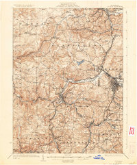
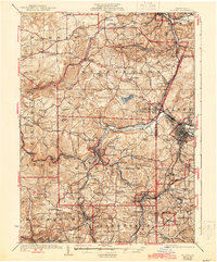
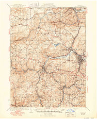
Editions of this 1924 Du Bois Map
5 editions found
Other maps of this area
1903 · Curwensville
USGS Topo · 1:62,500
1906 · Punxsutawney
USGS Topo · 1:62,500
1909 · Smicksburg
USGS Topo · 1:62,500
1918 · Loleta
USGS Topo · 1:62,500

1922 · Du Bois
USGS Topo · 1:62,500
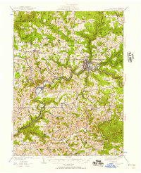
1924 · Brookville
USGS Topo · 1:62,500
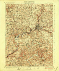
1926 · Brookville
USGS Topo · 1:62,500
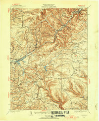
1929 · Penfield
USGS Topo · 1:62,500
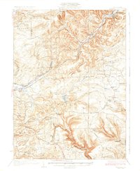
1932 · Penfield
USGS Topo · 1:62,500
1936 · Marienville
USGS Topo · 1:48,000