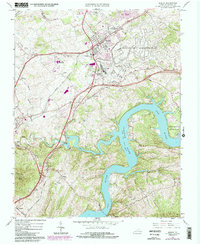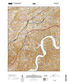
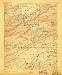
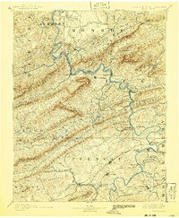
1891 Map of Dublin
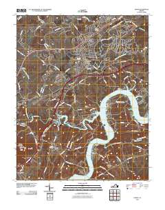
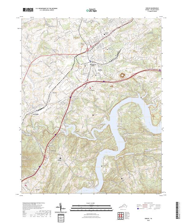
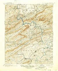
USGS Topo · Published 1901About this map
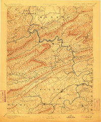
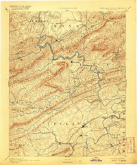
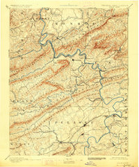
The New River carves a deep, winding path through the heart of the Appalachian landscape in the late 19th century, serving as the primary corridor for the Norfolk and Western Railroad. Industrial activity is evident in the southern reaches, where the Altoona Narrow Gauge Railroad and the Belle Hampton Mine signify the era's mining operations. Further north, the river is punctuated by historic crossings such as Snidows Ferry and Goodwins Ferry, while the presence of Mercers Salt Works and Gray Sulphur Sprs highlights the region's reliance on natural resources and early tourism around mineral springs. Settlements like Pearisburg and Dublin are established hubs along these critical transport lines, illustrating a period where rail and water dictated the growth of mountain communities in Virginia and West Virginia.
Find a feature on this map
173 named features on this map. Tap any name to fly to it.
Don’t see what you’re looking for? This feature index may not catch every label — zoom into the map to look around manually.
Map Details
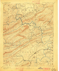
Editions of this 1891 Dublin Map
9 editions found

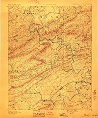
Historical Maps of Radford Through Time
8 maps found