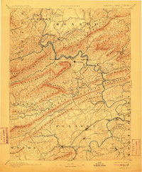
1891 Map of Dublin
USGS Topo · Published 1911About this map
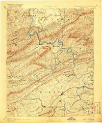
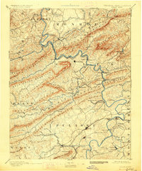
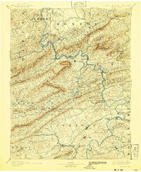
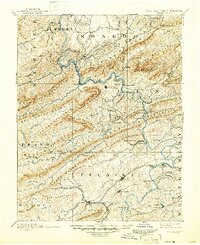
The New River carves a deep path through the Ridge-and-Valley province on this late 19th-century survey, revealing a landscape defined by industrial extraction and mineral springs. The Norfolk and Western Railroad follows the river's winding course, connecting key depots like New River Depot to mountain industrial sites such as the Altoona Mines and Belle Hampton Mine. This era was also marked by the popularity of mineral water retreats, evidenced by the presence of Gray Sulphur Sprs and Egglestons Springs.
Find a feature on this map
119 named features on this map. Tap any name to fly to it.
Don’t see what you’re looking for? This feature index may not catch every label — zoom into the map to look around manually.
Map Details
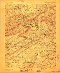
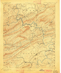
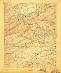
Editions of this 1891 Dublin Map
9 editions found
Other maps of this area

1887 · Pocahontas
USGS Topo · 1:125,000

1887 · Hinton
USGS Topo · 1:125,000

1887 · Lewisburg
USGS Topo · 1:125,000

1889 · Hillsville
USGS Topo · 1:125,000

1889 · Wytheville
USGS Topo · 1:125,000

1890 · Dublin
USGS Topo · 1:125,000

1890 · Christiansburg
USGS Topo · 1:125,000

1891 · Lewisburg
USGS Topo · 1:125,000

1891 · Pocahontas
USGS Topo · 1:125,000

1891 · Dublin
USGS Topo · 1:125,000