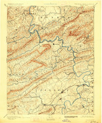
1891 Map of Dublin
USGS Topo · Published 1927About this map
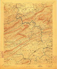
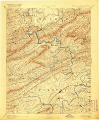
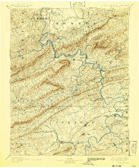
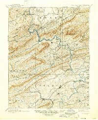
Pearisburg and the winding New River corridor anchor this late nineteenth-century reconnaissance of the Virginia and West Virginia borderlands. The landscape is defined by the heavy presence of the Norfolk and Western Railroad, which snakes through narrow mountain gaps, and specialized short-line routes like the Altoona Narrow Gauge Railroad serving the Altoona Mines. These rail links, alongside historical river crossings such as Ingles Ferry and Peppers Ferry, illustrate a region transitioning from an era of river-ford commerce to industrial mineral extraction. The map preserves the locations of early social and industrial hubs including Mercers Salt Works, the isolated Brick Church, and seasonal retreats like Gray Sulphur Sprs and Egglestons Springs. High points such as Angels Rest and Bald Knob tower over old settlements like Newbern and Lovely Mount, providing a detailed record of the terrain before twentieth-century development altered the local valley roads.
Find a feature on this map
138 named features on this map. Tap any name to fly to it.
Don’t see what you’re looking for? This feature index may not catch every label — zoom into the map to look around manually.
Map Details
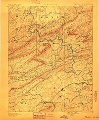
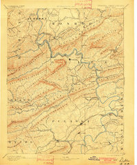
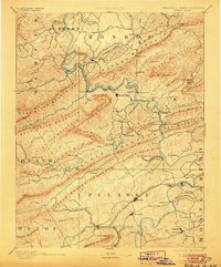
Editions of this 1891 Dublin Map
9 editions found
Other maps of this area

1887 · Pocahontas
USGS Topo · 1:125,000

1887 · Hinton
USGS Topo · 1:125,000

1887 · Lewisburg
USGS Topo · 1:125,000

1889 · Hillsville
USGS Topo · 1:125,000

1889 · Wytheville
USGS Topo · 1:125,000

1890 · Dublin
USGS Topo · 1:125,000

1890 · Christiansburg
USGS Topo · 1:125,000

1891 · Lewisburg
USGS Topo · 1:125,000

1891 · Pocahontas
USGS Topo · 1:125,000

1891 · Dublin
USGS Topo · 1:125,000