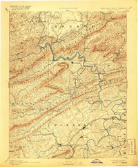
1891 Map of Dublin
USGS Topo · Published 1920About this map
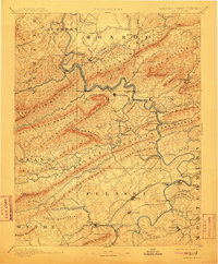
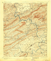
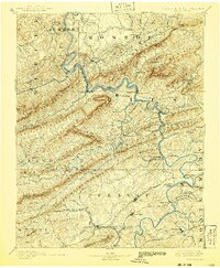
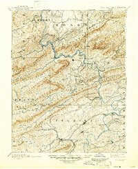
The New River carves a winding path through the heart of the Appalachian landscape on this late 19th-century survey, acting as a corridor for both trade and transit. The Norfolk and Western Railroad follows the river's banks, connecting vital settlements like Pearisburg and New River Depot. Industrial activity is evident in the southern portion of the sheet, where the Altoona Narrow Gauge Railroad serves the Altoona Mines, while the Belle Hampton Mine is situated near Churchwood.
Find a feature on this map
128 named features on this map. Tap any name to fly to it.
Don’t see what you’re looking for? This feature index may not catch every label — zoom into the map to look around manually.
Map Details
Editions of this 1891 Dublin Map
9 editions found
Other maps of this area

1887 · Pocahontas
USGS Topo · 1:125,000

1887 · Hinton
USGS Topo · 1:125,000

1887 · Lewisburg
USGS Topo · 1:125,000

1889 · Hillsville
USGS Topo · 1:125,000

1889 · Wytheville
USGS Topo · 1:125,000

1890 · Dublin
USGS Topo · 1:125,000

1890 · Christiansburg
USGS Topo · 1:125,000

1891 · Lewisburg
USGS Topo · 1:125,000

1891 · Pocahontas
USGS Topo · 1:125,000

1891 · Dublin
USGS Topo · 1:125,000