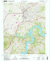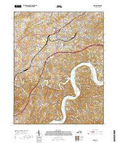
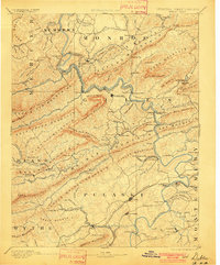
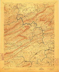
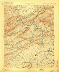
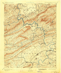
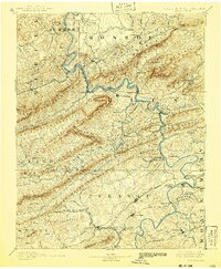
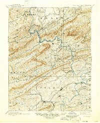
1891 Map of Dublin
USGS Topo · Published 1906About this map
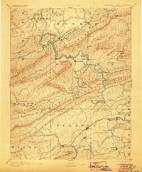
Peters Mountain and the New River corridor anchor this late nineteenth-century topographic study, which reveals the industrial and transport infrastructure of the Virginia-West Virginia borderlands. The landscape is defined by the sharp ridges of Walker Mountain and Pearis Mountain, where early resource extraction is evident at the Altoona Mines and Belle Hampton Mine. This era was marked by a transition from traditional river crossings to rail dominance, documented here by the concentration of historic ferries such as Ingles Ferry and Snidows Ferry alongside the emerging Norfolk and Western Railroad.
Find a feature on this map
150 named features on this map. Tap any name to fly to it.
Don’t see what you’re looking for? This feature index may not catch every label — zoom into the map to look around manually.
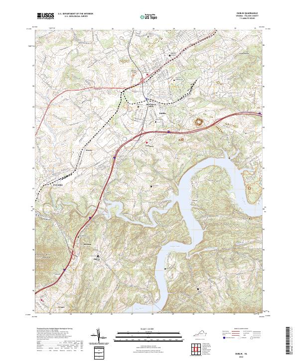
Map Details
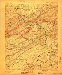
Editions of this 1891 Dublin Map
9 editions found

Historical Maps of Radford Through Time
8 maps found