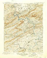
1891 Map of Dublin
USGS Topo · Published 1946About this map
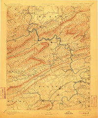
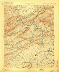
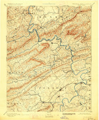
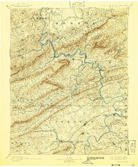
Newbern and Pearisburg serve as the primary hubs in this late 19th-century survey of the New River Valley. The New River dominates the landscape, carving a winding path through the formidable ridges of Peters Mountain and Walker Mountain. This era is defined by the expansion of the Norfolk and Western Railroad alongside smaller industrial spurs like the Altoona Narrow Gauge Railroad, which connected the Altoona Mines to regional trade routes. Local commerce and travel relied heavily on river crossings such as Ingles Ferry and Snidows Ferry before modern bridge infrastructure replaced these traditional transit points. For genealogists, the map reveals specific early settlements like Central Lovely Mount and community anchors such as the Brick Church. The presence of Mercers Salt Works and Gray Sulphur Sprs highlights the region's early industrial and recreational draws during its post-war development.
Find a feature on this map
138 named features on this map. Tap any name to fly to it.
Don’t see what you’re looking for? This feature index may not catch every label — zoom into the map to look around manually.
Map Details
Editions of this 1891 Dublin Map
9 editions found
Other maps of this area

1887 · Pocahontas
USGS Topo · 1:125,000

1887 · Hinton
USGS Topo · 1:125,000

1887 · Lewisburg
USGS Topo · 1:125,000

1889 · Hillsville
USGS Topo · 1:125,000

1889 · Wytheville
USGS Topo · 1:125,000

1890 · Dublin
USGS Topo · 1:125,000

1890 · Christiansburg
USGS Topo · 1:125,000

1891 · Lewisburg
USGS Topo · 1:125,000

1891 · Pocahontas
USGS Topo · 1:125,000

1891 · Dublin
USGS Topo · 1:125,000