
1891 Map of Dublin
USGS Topo · Published 1891About this map
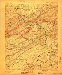
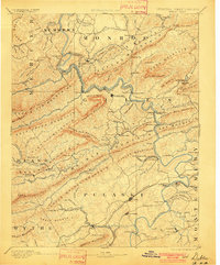
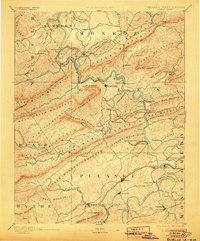
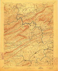
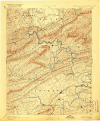
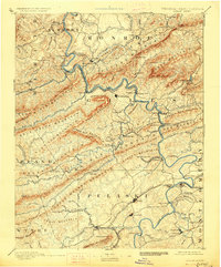
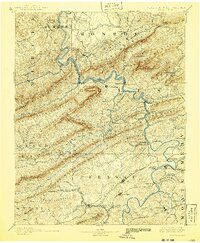
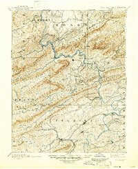
The New River carves a winding path through the heart of this late 19th-century landscape, serving as a primary corridor for both river crossings and rail development. Major transit points like Snidows Ferry, Goodwins Ferry, and Peppers Ferry are clearly marked, illustrating how travel was managed before modern bridges. Industrial activity is concentrated around the Altoona Narrow Gauge Railroad and its namesake Altoona Mines, alongside the Belle Hampton Mine near Churchwood.
Find a feature on this map
152 named features on this map. Tap any name to fly to it.
Don’t see what you’re looking for? This feature index may not catch every label — zoom into the map to look around manually.
Map Details
Editions of this 1891 Dublin Map
9 editions found
Other maps of this area

1887 · Pocahontas
USGS Topo · 1:125,000

1887 · Hinton
USGS Topo · 1:125,000

1887 · Lewisburg
USGS Topo · 1:125,000

1889 · Hillsville
USGS Topo · 1:125,000

1889 · Wytheville
USGS Topo · 1:125,000

1890 · Dublin
USGS Topo · 1:125,000

1890 · Christiansburg
USGS Topo · 1:125,000

1891 · Lewisburg
USGS Topo · 1:125,000

1891 · Pocahontas
USGS Topo · 1:125,000

1891 · Raleigh
USGS Topo · 1:125,000