Loading...
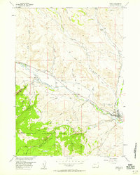
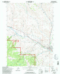
Loading map...1956 Map of Dubois
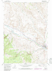
USGS Topo · Published 1985About this map
Dubois sits at the confluence of the Wind River and Little Warm Spring Creek in this 1956 survey, which was updated with aerial data through the late 1970s. The landscape is defined by the transition from the valley floor to the high elevations of the Shoshone National Forest, marked by distinctive landmarks like Chimney Rock and EA Mountain. The town's infrastructure includes the Dubois Airport, while evidence of earlier aviation history is found at a Landing Field (Aband) further east.
Find a feature on this map
32 named features on this map. Tap any name to fly to it.
Don’t see what you’re looking for? This feature index may not catch every label — zoom into the map to look around manually.
Map Details
Date Portrayed1956
Date Published1985
PublisherU.S. Geological Survey
Map TypeTopographic
Scale1:24,000
Physical Dimensions19.9 x 26.7 inches
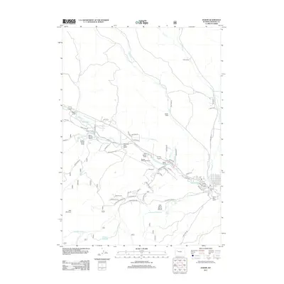
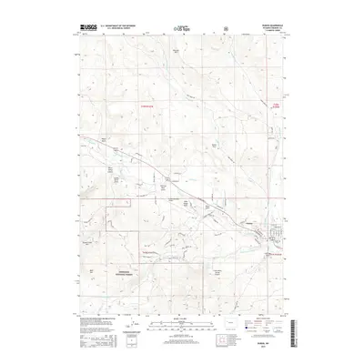
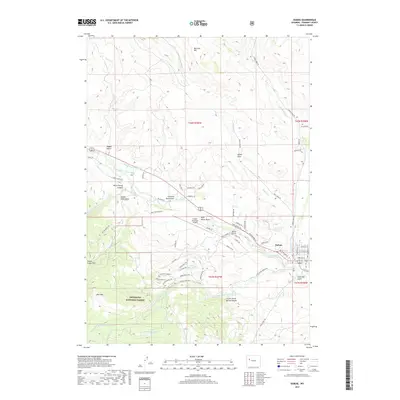
Editions of this 1956 Dubois Map
4 editions found
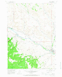
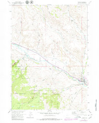
Historical Maps of Dubois Through Time
6 maps found

Featured Locations
Source Details
SourceU.S. Geological Survey
CopyrightPublic Domain