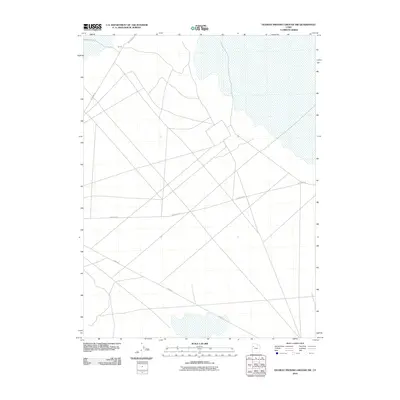
2010 Map of Dugway Proving Ground NW
USGS Topo · Published 2010About this map
Goodyear Rd and Stark Rd crisscross the arid expanse of this northwest portion of the military reservation in Tooele County. This 2010 topographic record documents a landscape primarily defined by its specialized infrastructure, including the Gp I-3 site and a network of arterial desert routes like Falconer Rd and White Rock Rd. The map illustrates a stark geographic pattern where utilitarian roadways intersect across flat basins, serving a region dedicated to isolated testing and training activities. Large hydrographic features occupy the northern and eastern reaches, highlighting the distinct drainage characteristics of this high-desert environment during the first decade of the millennium.
Find a feature on this map
5 named features on this map. Tap any name to fly to it.
Don’t see what you’re looking for? This feature index may not catch every label — zoom into the map to look around manually.
Map Details
Editions of this 2010 Dugway Proving Ground NW Map
This is the sole edition of this map. No revisions or reprints were ever made.
Other maps of this area

1953 · Tooele
USGS Topo · 1:250,000

1954 · Wig Mtn SW
USGS Topo · 1:24,000

1954 · Dugway Proving Ground SE
USGS Topo · 1:24,000

1954 · Dugway Proving Ground NE
USGS Topo · 1:24,000

1954 · Granite Peak
USGS Topo · 1:24,000

1954 · Dugway Proving Ground SW
USGS Topo · 1:24,000

1954 · Wildcat Mtn SE
USGS Topo · 1:24,000

1954 · Dugway Proving Ground NW
USGS Topo · 1:24,000

1954 · Granite Peak SE
USGS Topo · 1:24,000

1955 · Wig Mtn
USGS Topo · 1:24,000