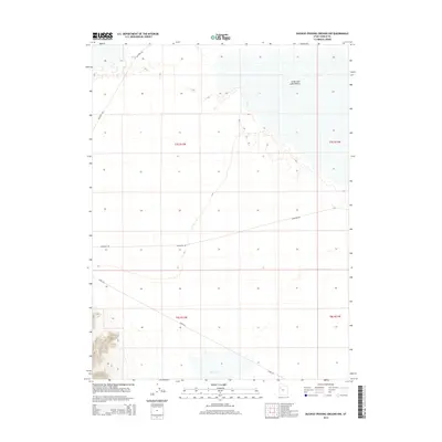
2014 Map of Dugway Proving Ground NW
USGS Topo · Published 2014About this map
The Great Salt Lake Desert dominates this arid landscape within the military reservation in northwestern Utah. The terrain is characterized by expansive salt flats and intermittent water features like Dry Lake in the southern sections. Transportation across this desolate environment is facilitated by several named desert routes, most notably Goodyear Rd and Stark Rd, which cross the township and range grids of T7S R12W and T8S R12W. To the northwest, the intersection of Falconer Rd and G P I-3 Falconer Rd provides access through the rugged foothills that border the salt crust. This 2014 survey documents the modern road network and geographic markers used for navigation and range management within the northern reaches of the proving ground.
Find a feature on this map
10 named features on this map. Tap any name to fly to it.
Don’t see what you’re looking for? This feature index may not catch every label — zoom into the map to look around manually.
Map Details
Editions of this 2014 Dugway Proving Ground NW Map
This is the sole edition of this map. No revisions or reprints were ever made.
Other maps of this area

1953 · Tooele
USGS Topo · 1:250,000

1954 · Wig Mtn SW
USGS Topo · 1:24,000

1954 · Dugway Proving Ground SE
USGS Topo · 1:24,000

1954 · Dugway Proving Ground NE
USGS Topo · 1:24,000

1954 · Granite Peak
USGS Topo · 1:24,000

1954 · Dugway Proving Ground SW
USGS Topo · 1:24,000

1954 · Wildcat Mtn SE
USGS Topo · 1:24,000

1954 · Dugway Proving Ground NW
USGS Topo · 1:24,000

1954 · Granite Peak SE
USGS Topo · 1:24,000

1955 · Wig Mtn
USGS Topo · 1:24,000