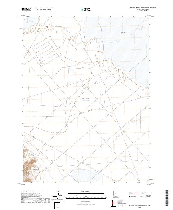
2023 Map of Dugway Proving Ground NW
USGS Topo · Published 2023About this map
The West Desert Test Center occupies a significant portion of this landscape, reflecting the military's long-standing footprint in this corner of Tooele County. Situated within the expansive Great Salt Lake Desert, the area is characterized by the vast, low-relief terrain of the salt flats, where the geometric grid of the military facility intersects with the natural arid expanse. Transportation through this controlled environment is limited to specialized routes such as Goodyear Rd, Stark Rd, and Falconer Rd, which provide access to the various testing sectors. The presence of these named roads and the test center itself speaks to the modern strategic utility of this geographically isolated region.
Find a feature on this map
5 named features on this map. Tap any name to fly to it.
Don’t see what you’re looking for? This feature index may not catch every label — zoom into the map to look around manually.
Map Details
Editions of this 2023 Dugway Proving Ground NW Map
This is the sole edition of this map. No revisions or reprints were ever made.
Other maps of this area

1953 · Tooele
USGS Topo · 1:250,000

1954 · Wig Mtn SW
USGS Topo · 1:24,000

1954 · Dugway Proving Ground SE
USGS Topo · 1:24,000

1954 · Dugway Proving Ground NE
USGS Topo · 1:24,000

1954 · Granite Peak
USGS Topo · 1:24,000

1954 · Dugway Proving Ground SW
USGS Topo · 1:24,000

1954 · Wildcat Mtn SE
USGS Topo · 1:24,000

1954 · Dugway Proving Ground NW
USGS Topo · 1:24,000

1954 · Granite Peak SE
USGS Topo · 1:24,000

1955 · Wig Mtn
USGS Topo · 1:24,000