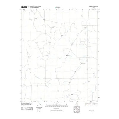
2010 Map of Dumont
USGS Topo · Published 2010About this map
The Dumont settlement stands as a focal point in this portion of King County, where the ranching and agricultural landscape is deeply tied to the winding course of the North Wichita River. The map reveals a sophisticated network of water infrastructure vital to the region's economy, marked by numerous named stations such as the Dumont Horse Pasture Windmill, South East Thief Hollow Windmill, and Section Seven Windmill.
Find a feature on this map
29 named features on this map. Tap any name to fly to it.
Don’t see what you’re looking for? This feature index may not catch every label — zoom into the map to look around manually.
Map Details
Editions of this 2010 Dumont Map
This is the sole edition of this map. No revisions or reprints were ever made.
Other maps of this area

1954 · Lubbock
USGS Topo · 1:250,000

1967 · Guthrie NW
USGS Topo · 1:24,000

1968 · East Afton
USGS Topo · 1:24,000

1968 · Buffalo Creek
USGS Topo · 1:24,000

1968 · Russellville
USGS Topo · 1:24,000

1968 · Grow NW
USGS Topo · 1:24,000

1968 · Dumont
USGS Topo · 1:24,000

1968 · China Canyon
USGS Topo · 1:24,000

1968 · East Afton NE
USGS Topo · 1:24,000

1968 · Sanders Hollow
USGS Topo · 1:24,000