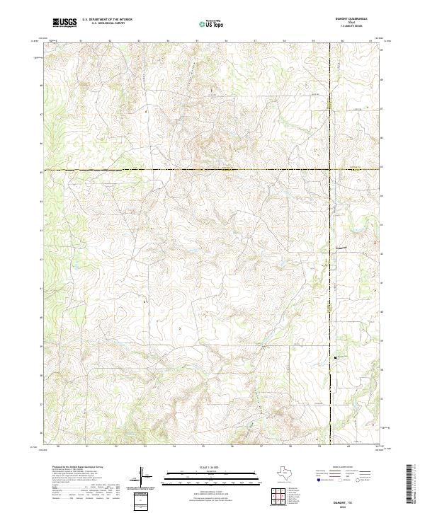
2022 Map of Dumont
USGS Topo · Published 2022About this map
The Dumont settlement stands at a rare four-county junction where Motley, Cottle, Dickens, and King counties meet in the Rolling Plains of West Texas. This modern survey illustrates a landscape defined by the intricate drainage systems of the N Wichita River and its various tributaries, including Middle Cr, Eighteen Cr, and Hollar Cr. The topography is marked by deep erosional features like Thiel Hollow and Shinnery Draw, which transition into the river valley.
Find a feature on this map
24 named features on this map. Tap any name to fly to it.
Don’t see what you’re looking for? This feature index may not catch every label — zoom into the map to look around manually.
Map Details
Editions of this 2022 Dumont Map
This is the sole edition of this map. No revisions or reprints were ever made.
Other maps of this area

1954 · Lubbock
USGS Topo · 1:250,000

1967 · Guthrie NW
USGS Topo · 1:24,000

1968 · East Afton
USGS Topo · 1:24,000

1968 · Buffalo Creek
USGS Topo · 1:24,000

1968 · Russellville
USGS Topo · 1:24,000

1968 · Grow NW
USGS Topo · 1:24,000

1968 · Dumont
USGS Topo · 1:24,000

1968 · China Canyon
USGS Topo · 1:24,000

1968 · East Afton NE
USGS Topo · 1:24,000

1968 · Sanders Hollow
USGS Topo · 1:24,000