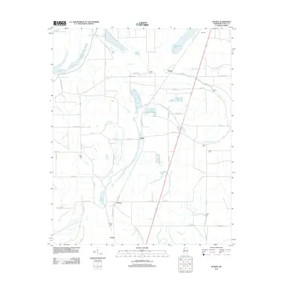
2012 Map of Dundee
USGS Topo · Published 2012About this map
Dundee and Maud anchor this corner of Tunica County, where the landscape is defined by the complex hydrography of the Mississippi Delta. The map reveals an intricate network of drainage and water features, including the sprawling Beaverdam Lake, Kyles Brake, and Sandy Bayou, which dictate the placement of roads and small settlements. A legacy of local family names and community focal points is preserved through numerous rural burial grounds like Kyles Cem, Bosket Cem, and Rising Sun Cem. The transition from old thoroughfares like Old Highway 61 S to the more modern corridor suggests the evolving transportation patterns of the region. This 2012 survey provides a clear view of the delta's agriculture-heavy layout, tracing the lines of Ark Bayou and Boggy Bayou as they wind through the flatlands.
Find a feature on this map
51 named features on this map. Tap any name to fly to it.
Don’t see what you’re looking for? This feature index may not catch every label — zoom into the map to look around manually.
Map Details
Editions of this 2012 Dundee Map
This is the sole edition of this map. No revisions or reprints were ever made.
Other maps of this area

1908 · Lula
USGS Topo · 1:24,000

1908 · Dundee
USGS Topo · 1:24,000

1908 · Hollywood
USGS Topo · 1:24,000

1908 · Moon Lake
USGS Topo · 1:24,000

1908 · Walnut Lake
USGS Topo · 1:24,000

1910 · Dundee
USGS Topo · 1:31,680

1910 · Walnut Lake
USGS Topo · 1:31,680

1912 · Moon Lake
USGS Topo · 1:31,680

1912 · Lula
USGS Topo · 1:31,680

1913 · Hollywood
USGS Topo · 1:31,680