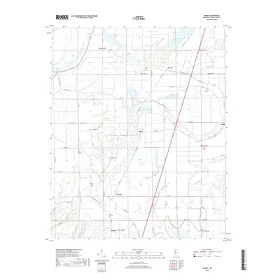
2018 Map of Dundee
USGS Topo · Published 2018About this map
Maud and Dundee anchor this stretch of the Mississippi Delta, where the landscape is defined by the remnants of ancient river meanders and bayous. The topography is marked by distinctive oxbow features like Flower Lake and Beaverdam Lake, connected by a network of drainage ways such as Boggy Bayou and Ark Bayou. Agricultural patterns dominate the region, with local roads like Pea Patch Rd and Bonnie Blue Rd cutting through the grid of sections and townships.
Find a feature on this map
59 named features on this map. Tap any name to fly to it.
Don’t see what you’re looking for? This feature index may not catch every label — zoom into the map to look around manually.
Map Details
Editions of this 2018 Dundee Map
This is the sole edition of this map. No revisions or reprints were ever made.
Other maps of this area

1908 · Lula
USGS Topo · 1:24,000

1908 · Dundee
USGS Topo · 1:24,000

1908 · Hollywood
USGS Topo · 1:24,000

1908 · Moon Lake
USGS Topo · 1:24,000

1908 · Walnut Lake
USGS Topo · 1:24,000

1910 · Dundee
USGS Topo · 1:31,680

1910 · Walnut Lake
USGS Topo · 1:31,680

1912 · Moon Lake
USGS Topo · 1:31,680

1912 · Lula
USGS Topo · 1:31,680

1913 · Hollywood
USGS Topo · 1:31,680