2024 Map of Dundee
USGS Topo · Published 2024About this map
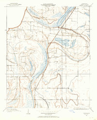
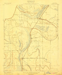
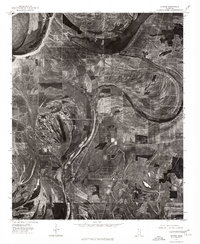
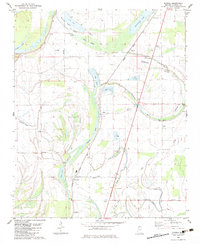
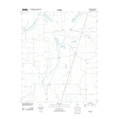
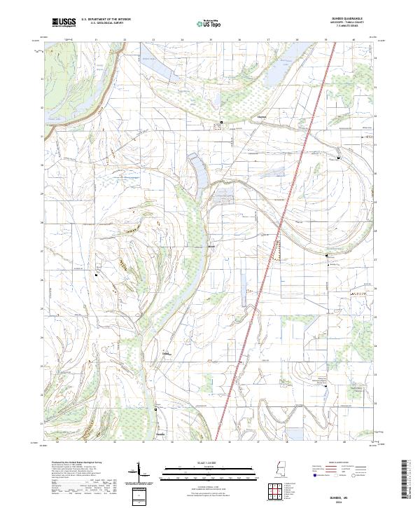
Dundee and the surrounding Yazoo Basin lowlands are defined by a complex network of bayous and brakes that historically dictated the placement of Tunica County settlements. This survey of the Mississippi Delta landscape reveals a high concentration of small rural burial grounds, such as Mount Sinia Cem, Mount Olive Cem, and the Rising Sun Missionary Baptist Church Cem, which often serve as the primary remaining markers of early farming communities. The terrain is crisscrossed by a dense grid of local roads, including Old Hwy 61 and Dundee Rd, which navigate around prominent water features like Flower Lake and Sandy Bayou. The presence of Paul's Flying Service near the southern boundary reflects the modern agricultural aviation industry essential to managing the vast fields of the Delta. Smaller hamlets like Maud, Clayton, and Hamlin appear along the rail and road corridors that have long supported the region's cotton and grain economy.
Find a feature on this map
61 named features on this map. Tap any name to fly to it.
Don’t see what you’re looking for? This feature index may not catch every label — zoom into the map to look around manually.
Map Details
Editions of this 2024 Dundee Map
This is the sole edition of this map. No revisions or reprints were ever made.
Historical Maps of Maud Through Time
9 maps found