1975 Map of Dundee
USGS Topo · Published 1976About this map
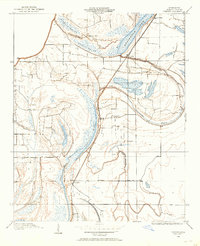
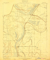
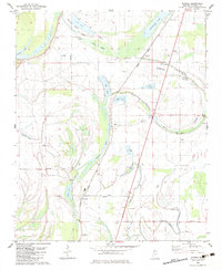
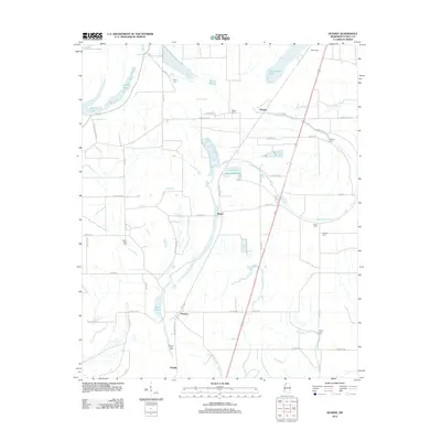
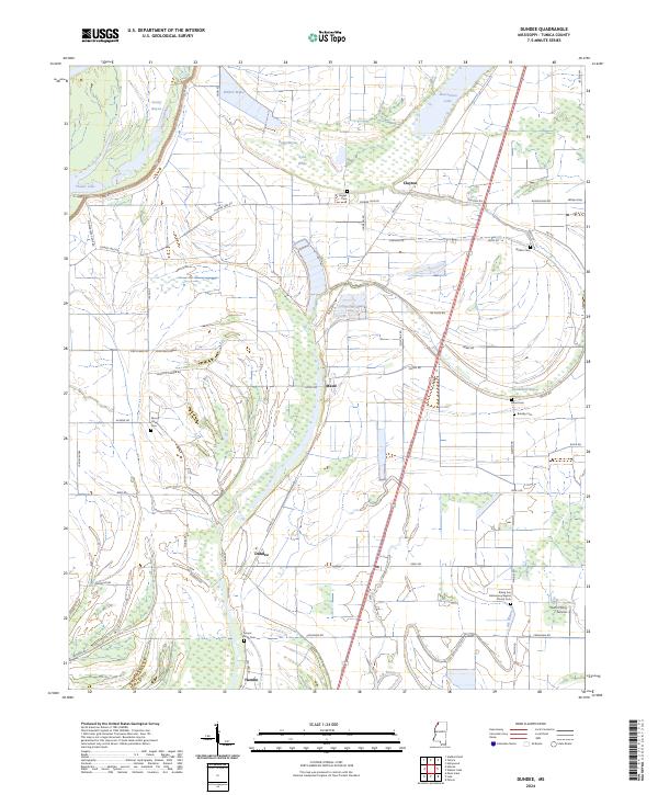
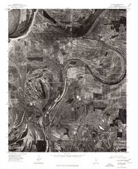
The agricultural landscape of the Mississippi Delta is captured here in sharp detail through aerial photography from the mid-1970s. This orthophotograph highlights the complex hydrology of the region, where the ancient meanders of former river channels have formed distinctive oxbow features like Beaverdam Lake and Cypress Lake. These crescent-shaped water bodies define the layout of the surrounding fields, dictating the boundaries of large-scale farming operations in Tunica County. Small rural hubs serve as the primary points of settlement, with Dundee situated in the southern portion of the sheet and Maud and Clayton positioned further north. The map reveals the intricate drainage patterns and geometric road networks that characterize this part of the alluvial plain during an era of significant agricultural production.
Find a feature on this map
5 named features on this map. Tap any name to fly to it.
Don’t see what you’re looking for? This feature index may not catch every label — zoom into the map to look around manually.
Map Details
Editions of this 1975 Dundee Map
This is the sole edition of this map. No revisions or reprints were ever made.
Historical Maps of Hamlin Through Time
9 maps found