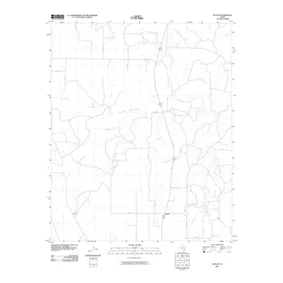
2010 Map of Dunlap
USGS Topo · Published 2010About this map
The Middle Pease River carves a winding path across this portion of Cottle County, defining the drainage patterns for a series of seasonal tributaries. Located in the rolling plains of North Texas, the settlement of Dunlap serves as a small focal point for the surrounding ranching and agricultural operations. The landscape is characterized by its reliance on water management, evidenced by the presence of the OX Windmill in the southwest, a critical landmark in this semi-arid region.
Find a feature on this map
21 named features on this map. Tap any name to fly to it.
Don’t see what you’re looking for? This feature index may not catch every label — zoom into the map to look around manually.
Map Details
Editions of this 2010 Dunlap Map
This is the sole edition of this map. No revisions or reprints were ever made.
Other maps of this area

1954 · Plainview
USGS Topo · 1:250,000

1958 · Plainview
USGS Topo · 1:250,000

1966 · Cee Vee
USGS Topo · 1:24,000

1966 · Devils Canyon
USGS Topo · 1:24,000

1967 · Buckle L Ranch
USGS Topo · 1:24,000

1967 · Tell South
USGS Topo · 1:24,000

1967 · Hell Roaring Creek
USGS Topo · 1:24,000

1967 · Dunlap
USGS Topo · 1:24,000

1967 · Paducah
USGS Topo · 1:24,000

1967 · Moons Camp
USGS Topo · 1:24,000