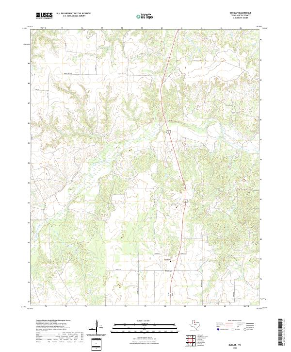
2022 Map of Dunlap
USGS Topo · Published 2022About this map
The small settlement of Dunlap serves as a quiet central point in this Cottle County landscape, marked by its namesake Dunlap Cem. The terrain is defined by the winding course of the Middle Pease River, which cuts a broad, meandering path across the center of the sheet, fed by several significant drainages including Turkey Cr, Bluff Cr, and Ox Cr. A complex network of county roads, such as Co RD 124 and Co RD 155, crisscross the area, reflecting a ranching and rural residential infrastructure typical of the Texas Rolling Plains. The northern reaches are bounded by Sweetwater Cr and Ranch Rd 1440, highlighting the wide-open spaces and the importance of waterway proximity for local land use.
Find a feature on this map
22 named features on this map. Tap any name to fly to it.
Don’t see what you’re looking for? This feature index may not catch every label — zoom into the map to look around manually.
Map Details
Editions of this 2022 Dunlap Map
This is the sole edition of this map. No revisions or reprints were ever made.
Other maps of this area

1954 · Plainview
USGS Topo · 1:250,000

1958 · Plainview
USGS Topo · 1:250,000

1966 · Cee Vee
USGS Topo · 1:24,000

1966 · Devils Canyon
USGS Topo · 1:24,000

1967 · Buckle L Ranch
USGS Topo · 1:24,000

1967 · Tell South
USGS Topo · 1:24,000

1967 · Hell Roaring Creek
USGS Topo · 1:24,000

1967 · Dunlap
USGS Topo · 1:24,000

1967 · Paducah
USGS Topo · 1:24,000

1967 · Moons Camp
USGS Topo · 1:24,000