
1907 Map of Dunnigan
USGS Topo · Published 1907About this map
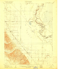
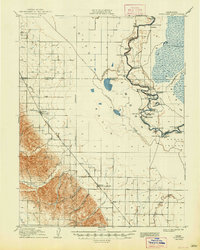
The Sacramento River meanders through a landscape of river landings and intricate bends at the dawn of the twentieth century, serving as the primary artery for the Sutter Basin and Colusa Basin. This 1905 survey captures a transition in regional naming and transportation, notably at Zamora Blacks Station P O, where the dual-named post office reflects the town's evolving identity. Steamboat commerce is evident in the string of river stops like Cranmore Landing, Boyer's Landing, and Rough and Ready Landing, which provided vital access for farmers before the full expansion of overland routes.
Find a feature on this map
55 named features on this map. Tap any name to fly to it.
Don’t see what you’re looking for? This feature index may not catch every label — zoom into the map to look around manually.
Map Details
Editions of this 1907 Dunnigan Map
3 editions found
Other maps of this area

1888 · Marysville
USGS Topo · 1:125,000

1891 · Marysville
USGS Topo · 1:125,000

1894 · Marysville
USGS Topo · 1:125,000

1895 · Marysville
USGS Topo · 1:125,000

1905 · Harrington
USGS Topo · 1:24,000

1905 · Esparto
USGS Topo · 1:24,000

1907 · Colusa
USGS Topo · 1:62,500

1907 · Woodland
USGS Topo · 1:62,500

1907 · Davisville
USGS Topo · 1:62,500

1910 · Knights Landing
USGS Topo · 1:31,680