
1951 Map of Durham North
USGS Topo · Published 1953About this map
Duke University and the surrounding Duke Forest anchor the southwestern landscape of this early 1950s survey, illustrating the academic and institutional growth north of Durham. The terrain is defined by the convergence of the Flat River, Eno River, and Little River into the Neuse River, with Lake Michie serving as a significant northern reservoir. This area reflects a mid-century transition from traditional rural tobacco-belt life to post-war expansion, evidenced by the proximity of the Duke Homestead to newer infrastructure like Watts Hospital and the Radio Towers (WTIK).
Find a feature on this map
81 named features on this map. Tap any name to fly to it.
Don’t see what you’re looking for? This feature index may not catch every label — zoom into the map to look around manually.
Map Details
Editions of this 1951 Durham North Map
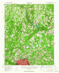
Historical Maps of Heritage Heights Through Time
16 maps found

1943 Durham South
Durham County, NC
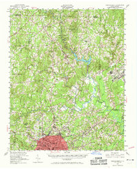
1951 Durham North
Durham County, NC
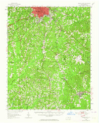
1951 Durham South
Durham County, NC
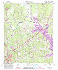
1973 Northeast Durham
Durham County, NC
1973 Northwest Durham
Durham County, NC
1973 Southeast Durham
Durham County, NC
1973 Southwest Durham
Durham County, NC
1993 Northeast Durham
Durham County, NC
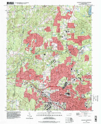
1993 Northwest Durham
Durham County, NC
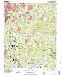
1993 Southeast Durham
Durham County, NC
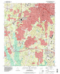
1993 Southwest Durham
Durham County, NC
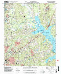
1999 Northeast Durham
Durham County, NC
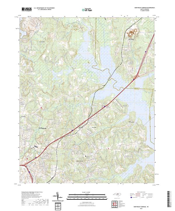
2022 Northeast Durham
Durham County, NC
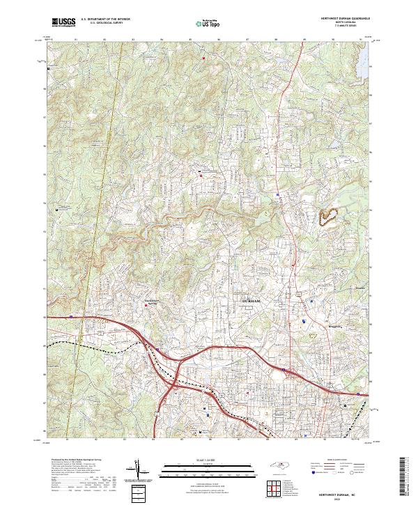
2022 Northwest Durham
Durham County, NC
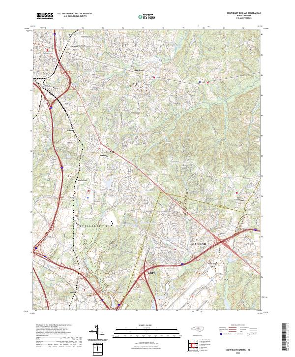
2022 Southeast Durham
Durham County, NC
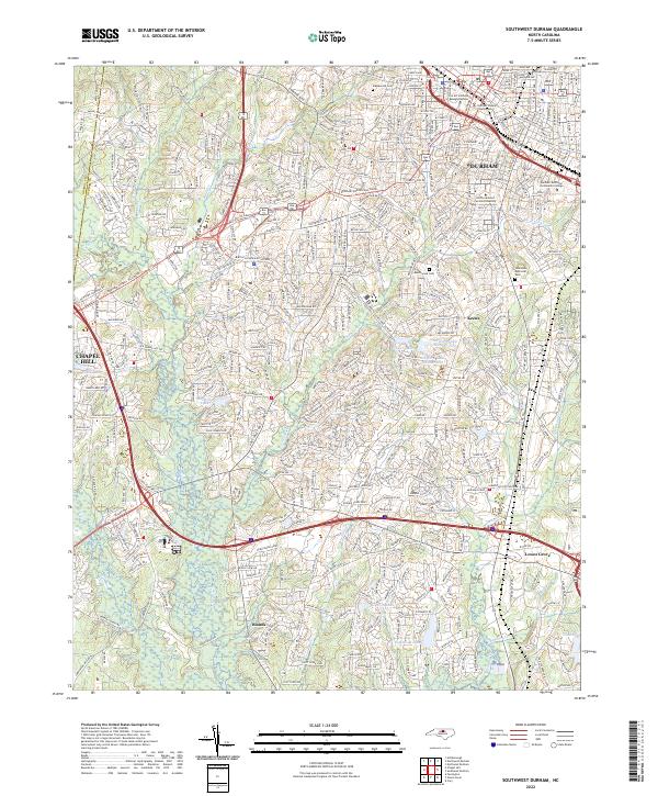
2022 Southwest Durham
Durham County, NC