
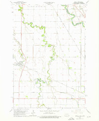
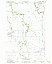
1964 Map of Dwight
USGS Topo · Published 1966About this map
Wild Rice River and the Red River of the North define the landscape of this fertile Red River Valley quadrangle along the border of North Dakota and Minnesota. During the mid-1960s, the area supported a network of small agricultural hubs and spiritual centers, most notably the Carmelite Monastery and St Josephs church. The map documents the intricate rail system of the era, including the Chicago Milwaukee St Paul and Pacific and the Great Northern railroads which serviced rural elevators and small settlements like Dwight and Brushvale. Rural education and community life are grounded in the presence of School No 2 and the Brushvale School, while the southern portion of the sheet reveals recreational and infrastructure developments such as a Drive-in Theater and a Sewage Disposal Pond. Local genealogy is well-served by several clearly marked burial sites, including Moore Cemetery and Calvary Cemetery.
Find a feature on this map
26 named features on this map. Tap any name to fly to it.
Don’t see what you’re looking for? This feature index may not catch every label — zoom into the map to look around manually.
Map Details
Editions of this 1964 Dwight Map
3 editions found
Other maps of this area

1904 · Wahpeton
USGS Topo · 1:125,000

1953 · Fargo
USGS Topo · 1:250,000

1956 · Fargo
USGS Topo · 1:250,000

1960 · Galchutt
USGS Topo · 1:24,000

1960 · Mooreton East
USGS Topo · 1:24,000

1964 · Fairmount NW
USGS Topo · 1:24,000

1964 · Great Bend
USGS Topo · 1:24,000

1964 · Wahpeton
USGS Topo · 1:24,000
1973 · Abercrombie
USGS Topo · 1:24,000
1973 · South of Wahpeton
USGS Topo · 1:24,000