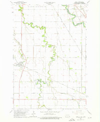
1964 Map of Dwight
USGS Topo · Published 1976About this map
The Wild Rice River meanders across this Red River Valley landscape, defining the rural character of Richland County during the mid-1960s. The map illustrates a region heavily influenced by its transit corridors, where the Chicago Milwaukee St Paul and Pacific and Great Northern railroads intersect near the village of Dwight. This period shows a well-established network of section-line roads connecting dispersed agricultural homesteads and local landmarks like the Townhall and the Drive-in Theater.
Find a feature on this map
24 named features on this map. Tap any name to fly to it.
Don’t see what you’re looking for? This feature index may not catch every label — zoom into the map to look around manually.
Map Details
Editions of this 1964 Dwight Map
3 editions found
Other maps of this area

1904 · Wahpeton
USGS Topo · 1:125,000

1953 · Fargo
USGS Topo · 1:250,000

1956 · Fargo
USGS Topo · 1:250,000

1960 · Galchutt
USGS Topo · 1:24,000

1960 · Mooreton East
USGS Topo · 1:24,000

1964 · Fairmount NW
USGS Topo · 1:24,000

1964 · Great Bend
USGS Topo · 1:24,000

1964 · Dwight
USGS Topo · 1:24,000

1964 · Wahpeton
USGS Topo · 1:24,000
1973 · Abercrombie
USGS Topo · 1:24,000