
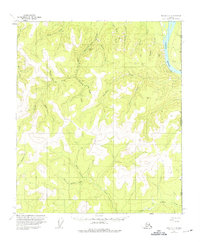
1956 Map of Eagle C-1
USGS Topo · Published 1963About this map
The Yukon River cuts through the northeast corner of this territory, marking the approach to the United States Canada border. Inland from the river, the landscape is defined by the Taylor Highway, which traverses a series of ridges and valleys. This mid-century environment is dotted with isolated survival structures such as the Gravel Gulch Shelter Cabin and several other unnamed Cabins, indicating the area's importance for transit and remote habitation during the 1950s.
Find a feature on this map
36 named features on this map. Tap any name to fly to it.
Don’t see what you’re looking for? This feature index may not catch every label — zoom into the map to look around manually.
Map Details
Editions of this 1956 Eagle C-1 Map
2 editions found
Other maps of this area

1899 · Fortymile
USGS Topo · 1:250,000

1951 · Eagle
USGS Topo · 1:250,000

1956 · Eagle D-2
USGS Topo · 1:63,360

1956 · Eagle C-2
USGS Topo · 1:63,360

1956 · Eagle B-2
USGS Topo · 1:63,360
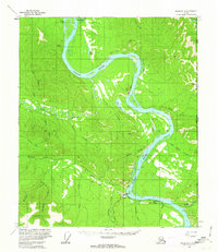
1956 · Eagle D-1
USGS Topo · 1:63,360

1956 · Eagle B-1
USGS Topo · 1:63,360

1957 · Eagle
USGS Topo · 1:250,000
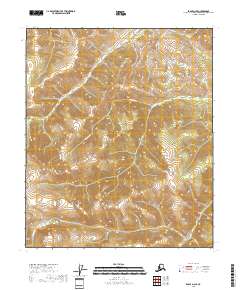
2018 · Eagle D-2 SE
USGS Topo · 1:25,000
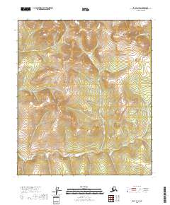
2018 · Eagle C-2 SE
USGS Topo · 1:25,000