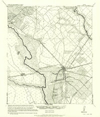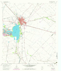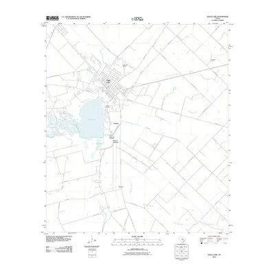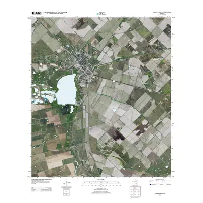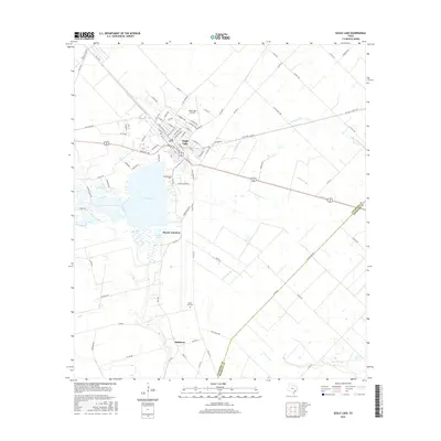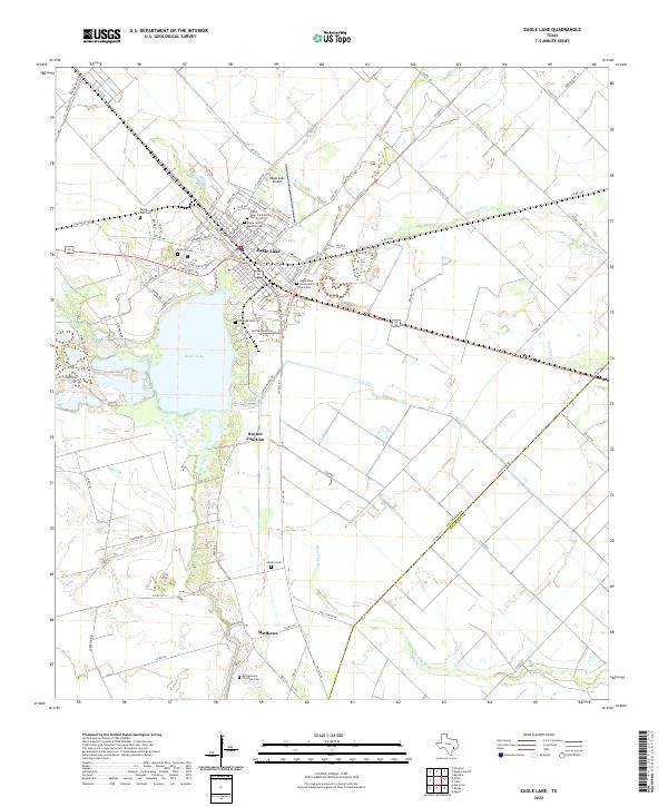
1985 Map of Eagle Lake
USGS Topo · Published 1992About this map
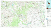
The Colorado River meanders through the heart of this mid-1980s landscape, connecting the regional hubs of La Grange and Columbus. This era captures a region defined by its diverse agricultural and energy interests, from the Frelsburg Oil Field to the protected grounds of the Attwater Prairie Chicken National Wildlife Refuge. The map illustrates a complex transportation network where Interstate 10 and major rail lines like the Southern Pacific intersect historic settlements such as Weimar and Schulenburg. Local topography is highlighted by landmarks like Monument Hill and Rek Hill, while the eastern portion of the survey is dominated by the broad valley of the Brazos River near San Felipe and Stephen F Austin State Park. Smaller communities including Fayetteville, New Ulm, and Industry anchor the rural landscape between the primary river corridors.
Find a feature on this map
84 named features on this map. Tap any name to fly to it.
Don’t see what you’re looking for? This feature index may not catch every label — zoom into the map to look around manually.
Map Details
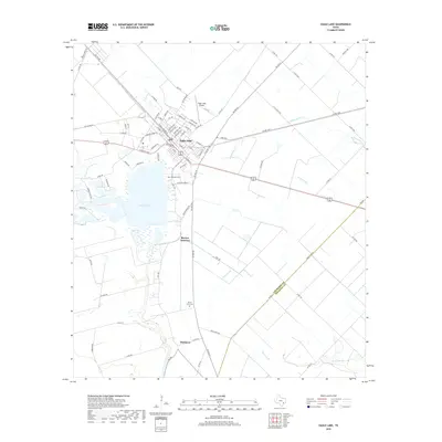
Editions of this 1985 Eagle Lake Map
2 editions found

Historical Maps of Sealy Through Time
8 maps found