Loading...
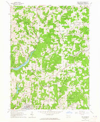
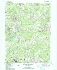
Loading map...1964 Map of East Butler
USGS Topo · Published 1965About this map
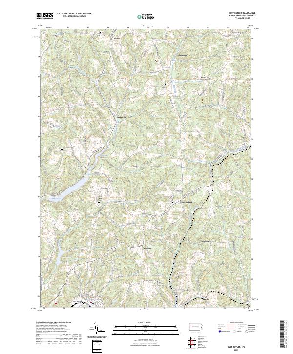
The Western Allegheny and Baltimore and Ohio railroads anchor the industrial and transit landscape of this mid-1960s Pennsylvania map. Industrial activity is evident throughout the terrain, particularly via numerous strip mines that mark the landscape near Troutman and Greece City. This era shows a complex mix of rural development and public land use, with the State Game Lands No 164 covering a large portion of the southeastern sector.
Find a feature on this map
39 named features on this map. Tap any name to fly to it.
Don’t see what you’re looking for? This feature index may not catch every label — zoom into the map to look around manually.
Map Details
Date Portrayed1964
Date Published1965
PublisherU.S. Geological Survey
Map TypeTopographic
Scale1:24,000
Physical Dimensions22 x 26.9 inches
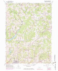
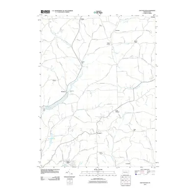
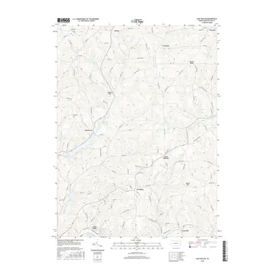
Editions of this 1964 East Butler Map
5 editions found
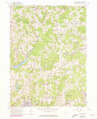
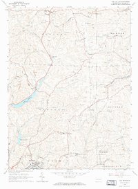
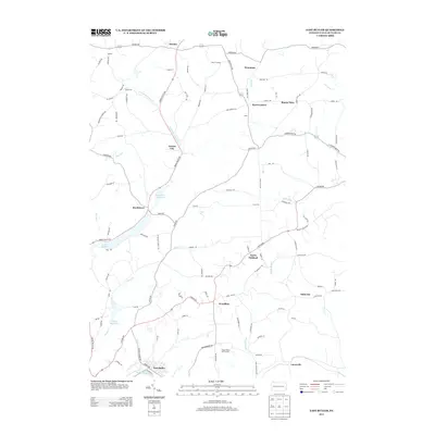
Historical Maps of East Butler Through Time
6 maps found
Featured Locations
- Donegal Township, PA
- East Butler, PA
- Oakland Township, PA
- Clearfield Township, PA
- Saint Joe, Donegal Township
Source Details
SourceU.S. Geological Survey
CopyrightPublic Domain