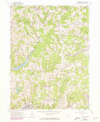
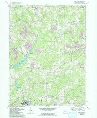
1964 Map of East Butler
USGS Topo · Published 1973About this map
Bessemer and Lake Erie and Baltimore and Ohio railroad corridors anchor this industrial and rural landscape in central Butler County. The map documents a complex infrastructure of pipelines and storage, particularly around Greece City and Hooker, reflecting the region’s long history of oil and gas production. A Tipple near the northern border indicates active coal processing, while residential development is concentrated in East Butler and smaller villages like North Oakland and St Joe.
Find a feature on this map
37 named features on this map. Tap any name to fly to it.
Don’t see what you’re looking for? This feature index may not catch every label — zoom into the map to look around manually.
Map Details
Editions of this 1964 East Butler Map
5 editions found
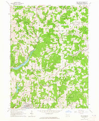
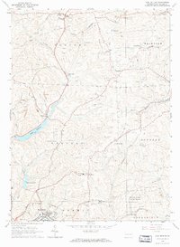
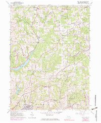
Other maps of this area

1900 · Kittanning
USGS Topo · 1:62,500

1902 · Kittanning
USGS Topo · 1:62,500

1907 · Foxburg
USGS Topo · 1:62,500

1908 · Foxburg
USGS Topo · 1:62,500

1909 · Butler
USGS Topo · 1:62,500

1910 · Hilliards
USGS Topo · 1:62,500

1911 · Butler
USGS Topo · 1:62,500

1912 · Hilliards
USGS Topo · 1:62,500

1944 · Hilliards
USGS Topo · 1:62,500

1953 · Pittsburgh
USGS Topo · 1:250,000