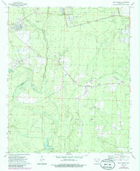
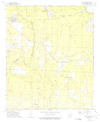
1973 Map of East Camden
USGS Topo · Published 1986About this map
Locust Bayou serves as a central landmark in this Arkansas landscape, where the shifting boundaries of Ouachita Co and Calhoun Co follow the winding path of Two Bayou. The area is characterized by its resource-based economy and military presence, notably the sprawling Abandoned Ammunition Depot in the northeast and the Locust Bayou Oil Field to the south.
Find a feature on this map
29 named features on this map. Tap any name to fly to it.
Don’t see what you’re looking for? This feature index may not catch every label — zoom into the map to look around manually.
Map Details
Editions of this 1973 East Camden Map
2 editions found
Other maps of this area

1903 · Camden
USGS Topo · 1:125,000

1951 · Camden
USGS Topo · 1:24,000

1953 · El Dorado
USGS Topo · 1:250,000

1957 · El Dorado
USGS Topo · 1:250,000

1958 · El Dorado
USGS Topo · 1:250,000

1960 · El Dorado
USGS Topo · 1:250,000

1962 · Louann
USGS Topo · 1:24,000

1962 · Smackover NE
USGS Topo · 1:24,000

1962 · Snow Hill
USGS Topo · 1:24,000

1964 · Smackover
USGS Topo · 1:62,500