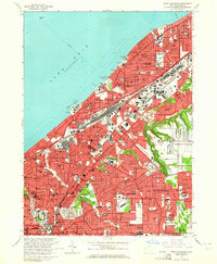
1963 Map of East Cleveland
USGS Topo · Published 1964About this map
Lake Erie defines the northern edge of this suburban landscape, where the dense grid of Cleveland meets the established communities of East Cleveland, Euclid, and Cleveland Heights. The industrial character of the era is anchored by the massive rail infrastructure of the Collinwood Yard and the New York Central System corridors. Along the shoreline, recreational spaces like Euclid Beach Park and Wildwood Park sit adjacent to the Waterworks Intake, highlighting the city's relationship with the lakefront.
Find a feature on this map
72 named features on this map. Tap any name to fly to it.
Don’t see what you’re looking for? This feature index may not catch every label — zoom into the map to look around manually.
Map Details
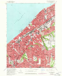
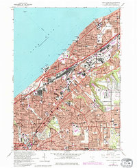
Editions of this 1963 East Cleveland Map
3 editions found
Other maps of this area

1901 · Euclid
USGS Topo · 1:62,500

1903 · Cleveland
USGS Topo · 1:62,500

1903 · Euclid
USGS Topo · 1:62,500

1905 · Mentor
USGS Topo · 1:62,500

1906 · Chagrin Falls
USGS Topo · 1:62,500

1907 · Mentor
USGS Topo · 1:62,500

1908 · Chagrin Falls
USGS Topo · 1:62,500

1950 · Cleveland
USGS Topo · 1:250,000

1953 · Chagrin Falls
USGS Topo · 1:24,000

1953 · Shaker Heights
USGS Topo · 1:24,000