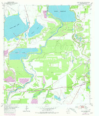
1952 Map of East Columbia
USGS Topo · Published 1980About this map
The Brazos River meanders through this portion of Brazoria County, defining a landscape of oxbow lakes, reservoirs, and coastal prairies. The historic settlement of East Columbia anchors the southwestern bend, while the community of Bailey Prairie sits to the east, illustrating the mid-century transition of the Texas Gulf Coast. This area is characterized by significant water management and resource infrastructure, including the large Harris Reservoir with its associated Pumping Station and an extensive network of Pipe Lines.
Find a feature on this map
34 named features on this map. Tap any name to fly to it.
Don’t see what you’re looking for? This feature index may not catch every label — zoom into the map to look around manually.
Map Details
Editions of this 1952 East Columbia Map
3 editions found
Other maps of this area

1943 · Rosharon
USGS Topo · 1:31,680

1943 · Angleton
USGS Topo · 1:24,000

1943 · Snipe
USGS Topo · 1:31,680

1950 · Houston
USGS Topo · 1:250,000

1952 · West Columbia
USGS Topo · 1:24,000

1952 · Sweeny
USGS Topo · 1:24,000

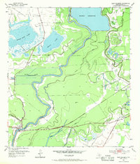
1952 · East Columbia
USGS Topo · 1:24,000

1952 · Brazoria
USGS Topo · 1:24,000

1953 · Damon
USGS Topo · 1:24,000

1953 · Otey
USGS Topo · 1:24,000
Featured Places
- Holiday Lakes, TX
- Bailey Prairie, Bailey's Prairie
- East Columbia, TX
- Bailey's Prairie, TX
- Brazoria County, TX