
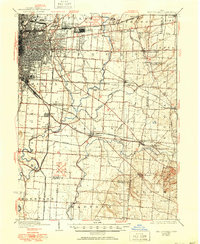
1925 Map of East Columbus
USGS Topo · Published 1940About this map
Columbus serves as the focal point for this eastern regional survey, where the industrial expansion of the 1920s meets the agricultural hinterland. The landscape is defined by a dense concentration of transit corridors, from the historic National Road to a complex network of railroads including the Pennsylvania RR and several electric lines. Key infrastructure of the era is prominent, such as the U S Army Supply Depot and Norton Field near East Columbus.
Find a feature on this map
72 named features on this map. Tap any name to fly to it.
Don’t see what you’re looking for? This feature index may not catch every label — zoom into the map to look around manually.
Map Details
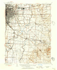
Editions of this 1925 East Columbus Map
3 editions found
Other maps of this area

1901 · Dublin
USGS Topo · 1:62,500

1902 · Westerville
USGS Topo · 1:62,500

1903 · Dublin
USGS Topo · 1:62,500

1904 · Westerville
USGS Topo · 1:62,500

1907 · Lancaster
USGS Topo · 1:62,500

1907 · Thurston
USGS Topo · 1:62,500

1908 · Granville
USGS Topo · 1:62,500

1909 · Lancaster
USGS Topo · 1:62,500

1909 · Thurston
USGS Topo · 1:62,500

1910 · Granville
USGS Topo · 1:62,500