Loading...
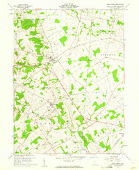
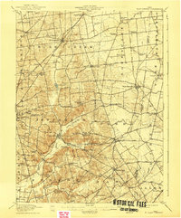
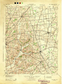
Loading map...1961 Map of East Liberty
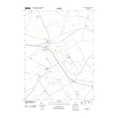
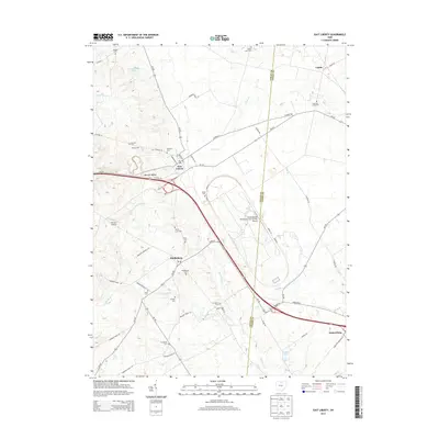
USGS Topo · Published 1961About this map
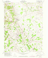
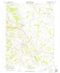
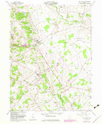
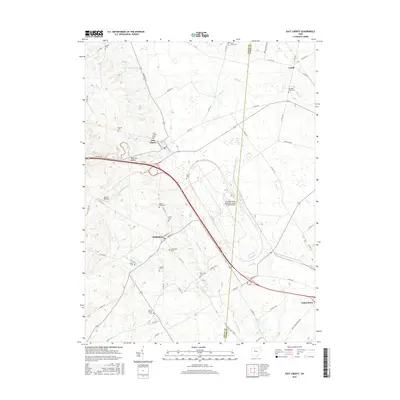
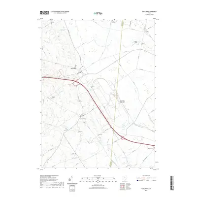
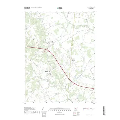
The agrarian landscape of Logan and Union counties is defined by the headwaters of Big Darby Creek and the intersection of traditional farming and 20th-century transportation. The village of Middleburg serves as a local hub, featuring the Zane Sch, an Athletic Field, and the Middleburg Cem. To the north, East Liberty is positioned along an Old Railroad Grade and the New York Central line, reflecting the area's historical reliance on rail for commerce.
Find a feature on this map
37 named features on this map. Tap any name to fly to it.
Don’t see what you’re looking for? This feature index may not catch every label — zoom into the map to look around manually.
Map Details
Date Portrayed1961
Date Published1961
PublisherU.S. Geological Survey
Map TypeTopographic
Scale1:24,000
Physical Dimensions22 x 26.9 inches
Editions of this 1961 East Liberty Map
4 editions found
Historical Maps of Zane Township Through Time
9 maps found

Featured Locations
Source Details
SourceU.S. Geological Survey
CopyrightPublic Domain