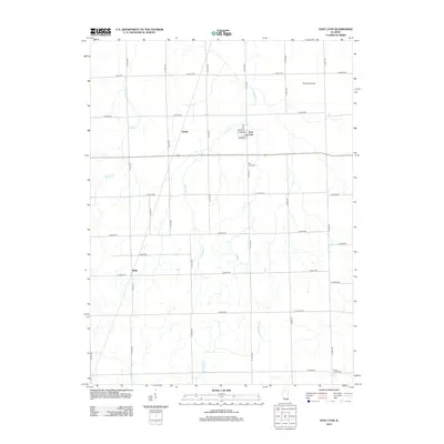
2012 Map of East Lynn
USGS Topo · Published 2012About this map
East Lynn and the smaller settlements of Hustle and Reilly anchor this rural landscape in Vermilion County, defined by a strict geometric grid of county roads. The settlement pattern here reflects the enduring influence of the Public Land Survey System, where agriculture remains the primary economic driver. Waterways such as Fountain Cr and Whisky Cr cut across the cardinal-direction roads, providing the only natural variation in the otherwise linear geography. Genealogy interest is centered on East Lynn Cem and Prairie Chapel Cem, which sit alongside these rural transit routes. The presence of Russells Airport north of the village shows the modernization of this agricultural corridor, while the central cluster of Walnut, Broadway, and Moores St marks the historic core of East Lynn.
Find a feature on this map
42 named features on this map. Tap any name to fly to it.
Don’t see what you’re looking for? This feature index may not catch every label — zoom into the map to look around manually.
Map Details
Editions of this 2012 East Lynn Map
This is the sole edition of this map. No revisions or reprints were ever made.
Other maps of this area

1933 · Hoopeston
USGS Topo · 1:48,000

1936 · Potomac
USGS Topo · 1:62,500

1938 · Milford
USGS Topo · 1:48,000

1938 · Hoopeston
USGS Topo · 1:62,500

1939 · Cissna Park
USGS Topo · 1:62,500

1944 · Milford
USGS Topo · 1:62,500

1949 · Cissna Park
USGS Topo · 1:62,500

1953 · Danville
USGS Topo · 1:250,000

1955 · Danville
USGS Topo · 1:250,000

1956 · Danville
USGS Topo · 1:250,000