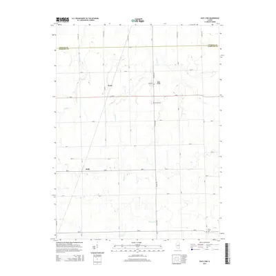
2015 Map of East Lynn
USGS Topo · Published 2015About this map
East Lynn and the smaller hamlets of Hustle and Reilly anchor this rural landscape along the northern border of Vermilion County. The terrain is defined by a series of north-to-south watercourses including Whisky Cr, Fountain Cr, and Bluegrass Cr, which dictate the placement of local farmsteads and agricultural infrastructure. These creeks wind through a highly organized grid of rural roads such as N 1600 East Rd and 4100 N, reflecting the enduring township-and-range survey system. Genealogists will find the East Lynn Cem and Prairie Chapel Cem significant for tracing local family histories in this agricultural corridor. The map clearly illustrates the transition into Iroquois County at its northern edge, providing a precise look at the land use and property divisions within this part of the Illinois prairie during the mid-2010s.
Find a feature on this map
19 named features on this map. Tap any name to fly to it.
Don’t see what you’re looking for? This feature index may not catch every label — zoom into the map to look around manually.
Map Details
Editions of this 2015 East Lynn Map
This is the sole edition of this map. No revisions or reprints were ever made.
Other maps of this area

1933 · Hoopeston
USGS Topo · 1:48,000

1936 · Potomac
USGS Topo · 1:62,500

1938 · Milford
USGS Topo · 1:48,000

1938 · Hoopeston
USGS Topo · 1:62,500

1939 · Cissna Park
USGS Topo · 1:62,500

1944 · Milford
USGS Topo · 1:62,500

1949 · Cissna Park
USGS Topo · 1:62,500

1953 · Danville
USGS Topo · 1:250,000

1955 · Danville
USGS Topo · 1:250,000

1956 · Danville
USGS Topo · 1:250,000