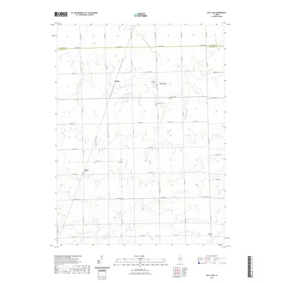
2021 Map of East Lynn
USGS Topo · Published 2021About this map
East Lynn anchors this portion of northern Vermilion County, situated just south of the Iroquois Co Vermilion Co line. The area is defined by a strictly surveyed grid of agricultural roads, including N 1700 East Rd and E 4100 N Rd, which connect the small settlements of Hustle and Reilly. This landscape illustrates the persistent rural structure of East Central Illinois, where drainage and land use are dictated by winding waterways such as Fountain Cr and Whisky Cr. Genealogists will find interest in the documented locations of the East Lynn Cem and Prairie Chapel Cem, which serve as quiet landmarks for the surrounding farmsteads and multi-generational family plots that continue to characterize this prairie region.
Find a feature on this map
40 named features on this map. Tap any name to fly to it.
Don’t see what you’re looking for? This feature index may not catch every label — zoom into the map to look around manually.
Map Details
Editions of this 2021 East Lynn Map
This is the sole edition of this map. No revisions or reprints were ever made.
Other maps of this area

1933 · Hoopeston
USGS Topo · 1:48,000

1936 · Potomac
USGS Topo · 1:62,500

1938 · Milford
USGS Topo · 1:48,000

1938 · Hoopeston
USGS Topo · 1:62,500

1939 · Cissna Park
USGS Topo · 1:62,500

1944 · Milford
USGS Topo · 1:62,500

1949 · Cissna Park
USGS Topo · 1:62,500

1953 · Danville
USGS Topo · 1:250,000

1955 · Danville
USGS Topo · 1:250,000

1956 · Danville
USGS Topo · 1:250,000