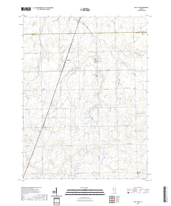
2024 Map of East Lynn
USGS Topo · Published 2024About this map
The Vermilion County countryside around East Lynn is defined by a grid of rural roads and the meandering paths of Fountain Creek and Whisky Creek. This modern survey documents the quiet agricultural landscape of northern Illinois, where the small settlement of East Lynn is centered at the junction of Walnut St and Main St. Further west, the small locale of Hustle and the hamlet of Reilly persist as distinct points within the expansive township structure. Local history and genealogy are anchored by landmarks like the East Lynn Cem and the Prairie Chapel Cem near the southern boundary. To the south, Bluegrass Creek cuts through the terrain near Co Hwy 14, illustrating the drainage patterns that have shaped this prairie region since its initial settlement. The map also delineates the Iroquois Co and Vermilion Co line, which follows E 00 North Rd.
Find a feature on this map
40 named features on this map. Tap any name to fly to it.
Don’t see what you’re looking for? This feature index may not catch every label — zoom into the map to look around manually.
Map Details
Editions of this 2024 East Lynn Map
This is the sole edition of this map. No revisions or reprints were ever made.
Other maps of this area

1933 · Hoopeston
USGS Topo · 1:48,000

1936 · Potomac
USGS Topo · 1:62,500

1938 · Milford
USGS Topo · 1:48,000

1938 · Hoopeston
USGS Topo · 1:62,500

1939 · Cissna Park
USGS Topo · 1:62,500

1944 · Milford
USGS Topo · 1:62,500

1949 · Cissna Park
USGS Topo · 1:62,500

1953 · Danville
USGS Topo · 1:250,000

1955 · Danville
USGS Topo · 1:250,000

1956 · Danville
USGS Topo · 1:250,000