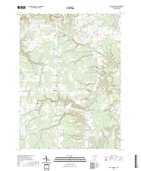
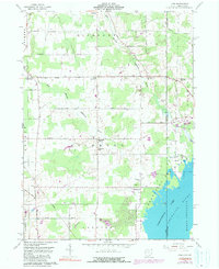
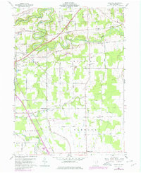
2023 Map of East Trumbull
USGS Topo · Published 2023About this map
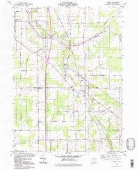
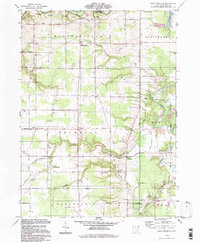
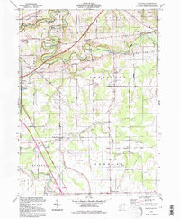
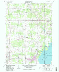
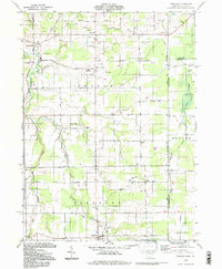
The Grand River and its numerous tributaries, including Bronson Creek and Mill Creek, define the drainage of this rural portion of Ashtabula County. Small crossroads settlements and farming communities are distributed along the road network, including the named hamlets of Cork, Trumbull, Footville, and East Trumbull. These clusters are historically tied to the surrounding land, evidenced by a high density of community burial grounds such as the East Trumbull Cem, Footville Cem, and Cork Cem.
Find a feature on this map
76 named features on this map. Tap any name to fly to it.
Don’t see what you’re looking for? This feature index may not catch every label — zoom into the map to look around manually.
Map Details
Editions of this 2023 East Trumbull Map
This is the sole edition of this map. No revisions or reprints were ever made.
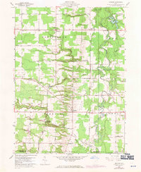
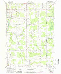
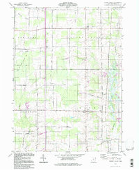
Historical Maps of Footville Through Time
26 maps found
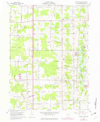
1959 Cherry Valley
Ashtabula County, OH
1959 Dorset
Ashtabula County, OH
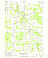
1959 East Trumbull
Ashtabula County, OH
1959 Leon
Ashtabula County, OH
1959 Windsor
Ashtabula County, OH
1960 Ashtabula North
Ashtabula County, OH
1960 Ashtabula South
Ashtabula County, OH
1960 Gageville
Ashtabula County, OH
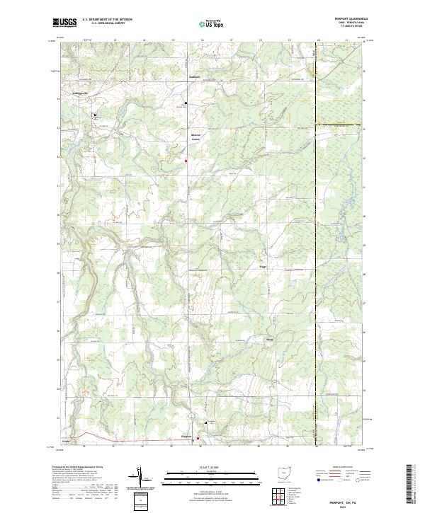
1960 Pierpont
Ashtabula County, OH
1994 Cherry Valley
Ashtabula County, OH
1994 Dorset
Ashtabula County, OH
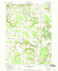
1994 East Trumbull
Ashtabula County, OH
1994 Gageville
Ashtabula County, OH
1994 Leon
Ashtabula County, OH
1994 Pierpont
Ashtabula County, OH
1994 Windsor
Ashtabula County, OH
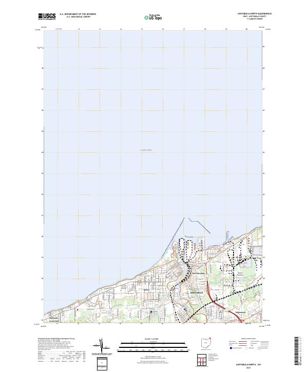
2023 Ashtabula North
Ashtabula County, OH
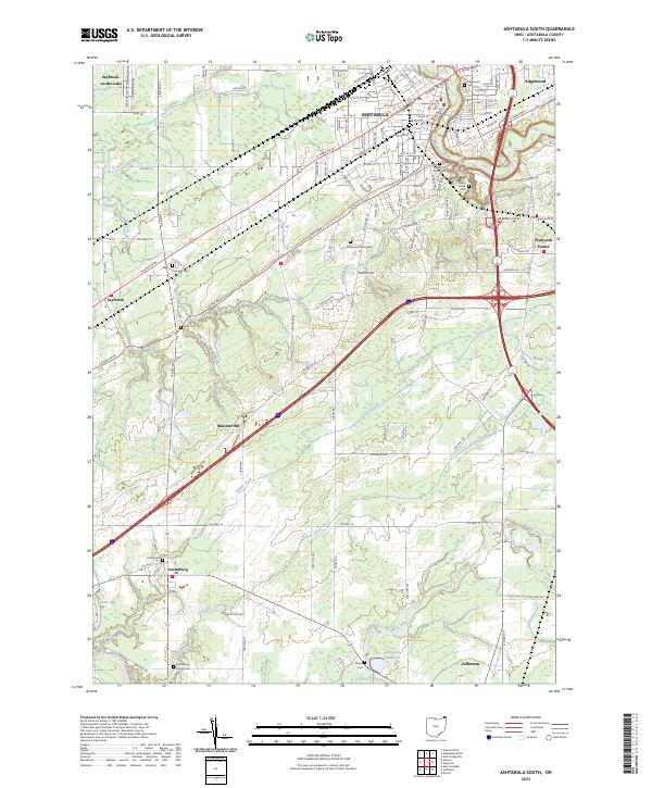
2023 Ashtabula South
Ashtabula County, OH
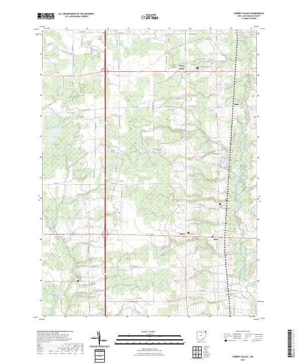
2023 Cherry Valley
Ashtabula County, OH
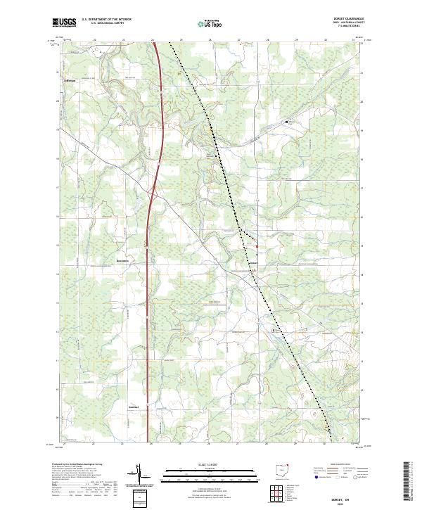
2023 Dorset
Ashtabula County, OH
2023 East Trumbull
Ashtabula County, OH
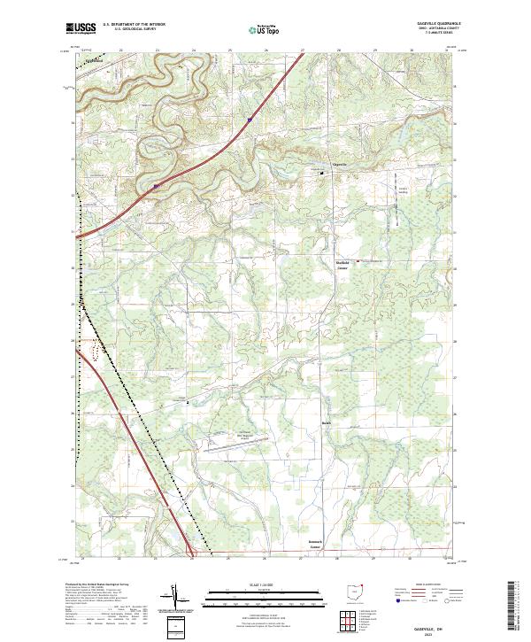
2023 Gageville
Ashtabula County, OH
2023 Geneva OE N
Ashtabula County, OH
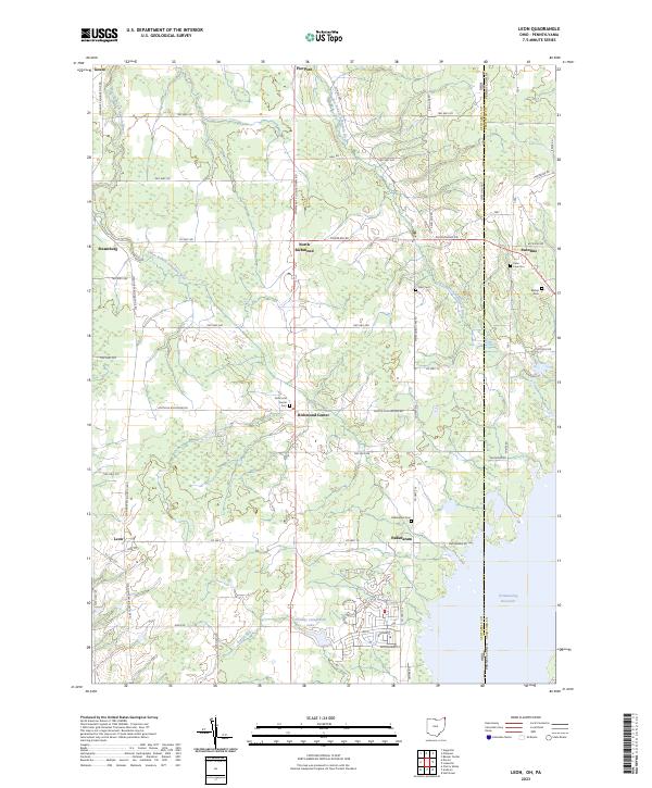
2023 Leon
Ashtabula County, OH
2023 Pierpont
Ashtabula County, OH
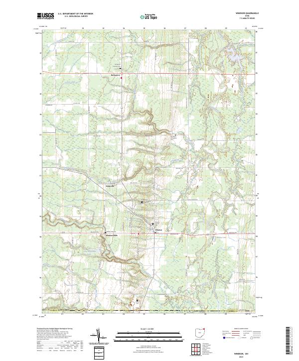
2023 Windsor
Ashtabula County, OH
Featured Locations
- Austinburg Township, OH
- Trumbull Township, OH
- Hartsgrove Township, OH
- Morgan Township, OH
- Trumbull, Trumbull Township