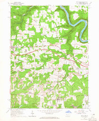
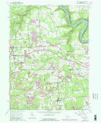
1963 Map of Eau Claire
USGS Topo · Published 1965About this map
The Allegheny River carves a sharp oxbow near Rockland and Wood Hill, anchoring a landscape defined by its extractive industry and rural hamlets in the early 1960s. Extensive Oil Field operations and numerous Strip Mines are distributed across the high ground between the river and Scrubgrass Creek. This survey details several family-named crossroads and small settlements such as Kohlmeyer Corner, Eakin Corner, and Humphreys Corner, reflecting the region's dense genealogical history. Landmark structures like the Anderson Stone House and the Radio Tower near Six Points provide distinct navigational points. Cultural life is anchored by local congregations at Rankin Chapel, Scrubgrass Church, and East Unity Church, while the historic industrial footprint is preserved through labels for Sutton Mill and Sedwicks Mill.
Find a feature on this map
51 named features on this map. Tap any name to fly to it.
Don’t see what you’re looking for? This feature index may not catch every label — zoom into the map to look around manually.
Map Details
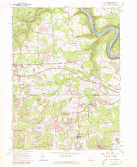
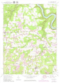
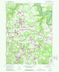
Editions of this 1963 Eau Claire Map
5 editions found
Other maps of this area

1907 · Foxburg
USGS Topo · 1:62,500

1908 · Foxburg
USGS Topo · 1:62,500

1909 · Franklin
USGS Topo · 1:62,500

1910 · Hilliards
USGS Topo · 1:62,500

1911 · Franklin
USGS Topo · 1:62,500

1912 · Hilliards
USGS Topo · 1:62,500

1922 · Oil City
USGS Topo · 1:48,000

1924 · Oil City
USGS Topo · 1:62,500

1943 · Oil City
USGS Topo · 1:62,500

1944 · Hilliards
USGS Topo · 1:62,500