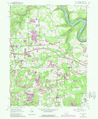
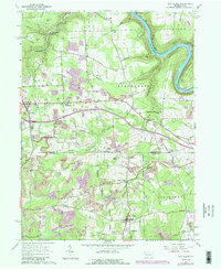
1963 Map of Eau Claire
USGS Topo · Published 1989About this map
The Allegheny River carves a deep horseshoe bend in the northeast corner of this landscape, framing the wooded highlands of Rockland. The 1963 data reveals a region defined by its extractable resources and crossroads settlements, where the terrain is marked by numerous Strip Mines and extensive Oil Fields. Communities like Eau Claire and Clintonville serve as local hubs, while smaller family-named junctions such as Riddle Crossroads and Smith Corners dot the interior.
Find a feature on this map
54 named features on this map. Tap any name to fly to it.
Don’t see what you’re looking for? This feature index may not catch every label — zoom into the map to look around manually.
Map Details
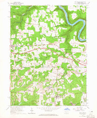
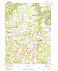
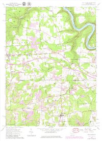
Editions of this 1963 Eau Claire Map
5 editions found
Other maps of this area

1907 · Foxburg
USGS Topo · 1:62,500

1908 · Foxburg
USGS Topo · 1:62,500

1909 · Franklin
USGS Topo · 1:62,500

1910 · Hilliards
USGS Topo · 1:62,500

1911 · Franklin
USGS Topo · 1:62,500

1912 · Hilliards
USGS Topo · 1:62,500

1922 · Oil City
USGS Topo · 1:48,000

1924 · Oil City
USGS Topo · 1:62,500

1943 · Oil City
USGS Topo · 1:62,500

1944 · Hilliards
USGS Topo · 1:62,500