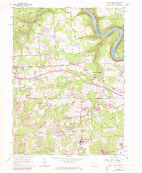
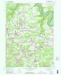
1963 Map of Eau Claire
USGS Topo · Published 1973About this map
The Allegheny River carves a sharp oxbow around Wood Hill in the northeastern corner of this region, which straddles the line between Venango and Butler counties. The landscape is a complex network of resource extraction and rural crossroads, characterized by an extensive Oil Field that spans much of the territory. Numerous wells and pipelines connect hills such as Eakin Hill and Pine Hill to industrial infrastructure like the Pump Station near Scrubgrass Creek.
Find a feature on this map
47 named features on this map. Tap any name to fly to it.
Don’t see what you’re looking for? This feature index may not catch every label — zoom into the map to look around manually.
Map Details
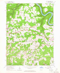
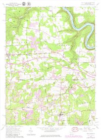
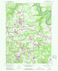
Editions of this 1963 Eau Claire Map
5 editions found
Other maps of this area

1907 · Foxburg
USGS Topo · 1:62,500

1908 · Foxburg
USGS Topo · 1:62,500

1909 · Franklin
USGS Topo · 1:62,500

1910 · Hilliards
USGS Topo · 1:62,500

1911 · Franklin
USGS Topo · 1:62,500

1912 · Hilliards
USGS Topo · 1:62,500

1922 · Oil City
USGS Topo · 1:48,000

1924 · Oil City
USGS Topo · 1:62,500

1943 · Oil City
USGS Topo · 1:62,500

1944 · Hilliards
USGS Topo · 1:62,500