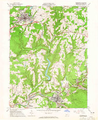
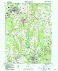
1963 Map of Ebensburg
USGS Topo · Published 1965About this map
Ebensburg serves as the focal point for this early 1960s study of Cambria County's industrial and residential geography. The map reveals a landscape defined by its extractive heritage and transportation networks, where the Pennsylvania railroad winds alongside the Little Conemaugh River. Industrial markers such as the Miller Shaft, Plane Bank, and various Mine Dumps are scattered near Portage and Lilly, illustrating the region's historical reliance on coal mining. These industrial sites are interspersed with community landmarks like the County Fairground, Bishop Carroll High Sch, and the Redbird Drive-in Theater.
Find a feature on this map
73 named features on this map. Tap any name to fly to it.
Don’t see what you’re looking for? This feature index may not catch every label — zoom into the map to look around manually.
Map Details
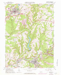
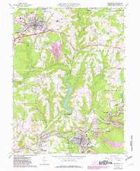
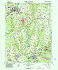
Editions of this 1963 Ebensburg Map
5 editions found
Other maps of this area

1902 · Ebensburg
USGS Topo · 1:62,500

1902 · Patton
USGS Topo · 1:62,500

1902 · Barnesboro
USGS Topo · 1:62,500

1904 · Barnesboro
USGS Topo · 1:62,500

1904 · Patton
USGS Topo · 1:62,500

1904 · Ebensburg
USGS Topo · 1:62,500

1904 · Johnstown
USGS Topo · 1:62,500

1907 · Johnstown
USGS Topo · 1:62,500

1943 · Punxsutawney
USGS Topo · 1:125,000

1953 · Pittsburgh
USGS Topo · 1:250,000