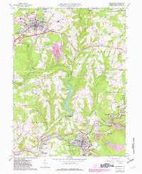
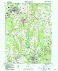
1963 Map of Ebensburg
USGS Topo · Published 1982About this map
The industrial and residential landscape of central Pennsylvania is clearly defined here as coal mining and rail infrastructure dominate the terrain. Heavy rail lines operated by Conrail stitch together boroughs like Ebensburg, Portage, and Cassandra, reflecting the region's historic reliance on mineral extraction and transport. Distinctive industrial markers such as the Miller Shaft and the Moshannon Plane Bank near Lilly indicate active or legacy mining operations, while numerous mine dumps dot the slopes surrounding Bens Creek and the Little Conemaugh River.
Find a feature on this map
77 named features on this map. Tap any name to fly to it.
Don’t see what you’re looking for? This feature index may not catch every label — zoom into the map to look around manually.
Map Details
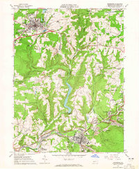
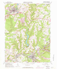
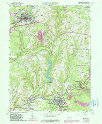
Editions of this 1963 Ebensburg Map
5 editions found
Other maps of this area

1902 · Ebensburg
USGS Topo · 1:62,500

1902 · Patton
USGS Topo · 1:62,500

1902 · Barnesboro
USGS Topo · 1:62,500

1904 · Barnesboro
USGS Topo · 1:62,500

1904 · Patton
USGS Topo · 1:62,500

1904 · Ebensburg
USGS Topo · 1:62,500

1904 · Johnstown
USGS Topo · 1:62,500

1907 · Johnstown
USGS Topo · 1:62,500

1943 · Punxsutawney
USGS Topo · 1:125,000

1953 · Pittsburgh
USGS Topo · 1:250,000