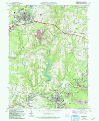
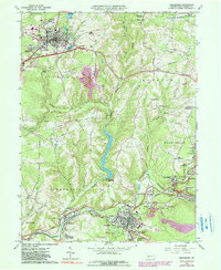
1963 Map of Ebensburg
USGS Topo · Published 1994About this map
Ebensburg sits as a central hub atop the Allegheny plateau, its grid of streets accompanied by the County Fairgrounds and Lake Rowena. This mid-century landscape reflects a region deeply shaped by industry and infrastructure, where numerous Reclaimed Strip Mines and Mine Dumps mark the terrain near Portage and Sonman. The rail corridors are particularly dense, with 5 Tracks and 4 Tracks following the Little Conemaugh River, underscoring the importance of heavy transport to the local economy.
Find a feature on this map
78 named features on this map. Tap any name to fly to it.
Don’t see what you’re looking for? This feature index may not catch every label — zoom into the map to look around manually.
Map Details
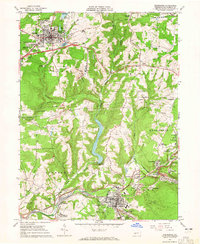
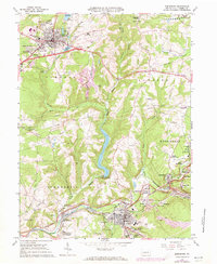
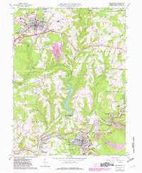
Editions of this 1963 Ebensburg Map
5 editions found
Other maps of this area

1902 · Ebensburg
USGS Topo · 1:62,500

1902 · Patton
USGS Topo · 1:62,500

1902 · Barnesboro
USGS Topo · 1:62,500

1904 · Barnesboro
USGS Topo · 1:62,500

1904 · Patton
USGS Topo · 1:62,500

1904 · Ebensburg
USGS Topo · 1:62,500

1904 · Johnstown
USGS Topo · 1:62,500

1907 · Johnstown
USGS Topo · 1:62,500

1943 · Punxsutawney
USGS Topo · 1:125,000

1953 · Pittsburgh
USGS Topo · 1:250,000