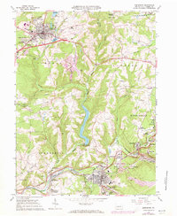
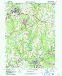
1963 Map of Ebensburg
USGS Topo · Published 1973About this map
The Penn Central rail lines and the winding waters of the Little Conemaugh River define this industrial landscape of Cambria County during the early 1960s. The seat of Ebensburg serves as a major hub, bordered by the County Fairground and institutional landmarks like the Bishop Carroll High Sch. To the south, the economy of the era is visible through the Miller Shaft and multiple Mine Dump sites surrounding Portage and Sonman.
Find a feature on this map
69 named features on this map. Tap any name to fly to it.
Don’t see what you’re looking for? This feature index may not catch every label — zoom into the map to look around manually.
Map Details
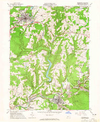
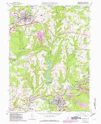
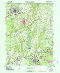
Editions of this 1963 Ebensburg Map
5 editions found
Other maps of this area

1902 · Ebensburg
USGS Topo · 1:62,500

1902 · Patton
USGS Topo · 1:62,500

1902 · Barnesboro
USGS Topo · 1:62,500

1904 · Barnesboro
USGS Topo · 1:62,500

1904 · Patton
USGS Topo · 1:62,500

1904 · Ebensburg
USGS Topo · 1:62,500

1904 · Johnstown
USGS Topo · 1:62,500

1907 · Johnstown
USGS Topo · 1:62,500

1943 · Punxsutawney
USGS Topo · 1:125,000

1953 · Pittsburgh
USGS Topo · 1:250,000