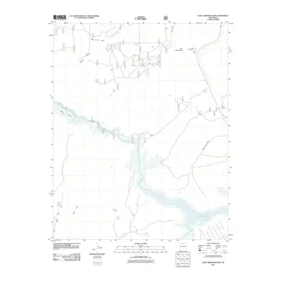
2011 Map of Echo Amphitheater
USGS Topo · Published 2011About this map
Rio Chama winding south toward Abiquiu Lake defines the rugged hydrology of this New Mexican landscape. The terrain is characterized by massive elevated formations such as Mesa de los Viejos and Mesa Alta, which frame the deep incisions of Chama Canyon and Joaquin Canyon. This 2011 survey captures the area’s infrastructure for both recreation and resource management, centering on the Echo Amphitheater and nearby Echo Campground.
Find a feature on this map
20 named features on this map. Tap any name to fly to it.
Don’t see what you’re looking for? This feature index may not catch every label — zoom into the map to look around manually.
Map Details
Editions of this 2011 Echo Amphitheater Map
This is the sole edition of this map. No revisions or reprints were ever made.
Other maps of this area
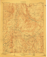
1909 · Gallina
USGS Topo · 1:125,000
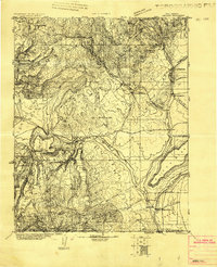
1918 · Abiquiu
USGS Topo · 1:125,000
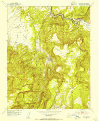
1953 · Canones
USGS Topo · 1:24,000
1953 · Alire
USGS Topo · 1:24,000
1953 · Echo Ampitheater
USGS Topo · 1:24,000
1953 · Arroyo Del Agua
USGS Topo · 1:24,000
1953 · Canjilon
USGS Topo · 1:24,000
1953 · Laguna Peak
USGS Topo · 1:24,000
1953 · Navajo Peak
USGS Topo · 1:24,000
1953 · Youngsville
USGS Topo · 1:24,000