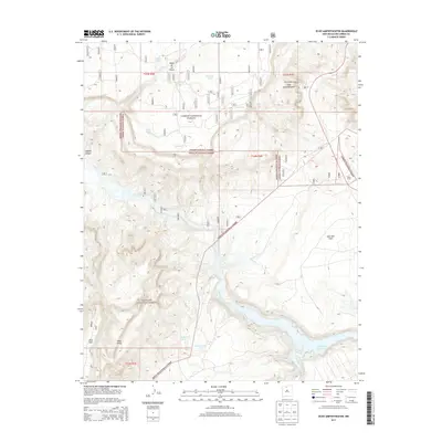
2013 Map of Echo Amphitheater
USGS Topo · Published 2013About this map
Mesa de los Viejos dominates the northern landscape of this Rio Arriba County region, providing a stark topographical backdrop to the managed lands of the Carson National Forest and Santa Fe National Forest. The geography is defined by the convergence of significant water systems, most notably the Rio Chama and its winding course toward the Abiquiu Reservoir. A network of artificial watering points, such as Frenchy Tank, Gato Tank, and Madrid Tank, speaks to the necessities of land management and ranching in this arid environment.
Find a feature on this map
31 named features on this map. Tap any name to fly to it.
Don’t see what you’re looking for? This feature index may not catch every label — zoom into the map to look around manually.
Map Details
Editions of this 2013 Echo Amphitheater Map
This is the sole edition of this map. No revisions or reprints were ever made.
Other maps of this area
1909 · Gallina
USGS Topo · 1:125,000
1918 · Abiquiu
USGS Topo · 1:125,000
1953 · Canones
USGS Topo · 1:24,000
1953 · Alire
USGS Topo · 1:24,000
1953 · Echo Ampitheater
USGS Topo · 1:24,000
1953 · Arroyo Del Agua
USGS Topo · 1:24,000
1953 · Canjilon
USGS Topo · 1:24,000
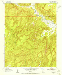
1953 · Laguna Peak
USGS Topo · 1:24,000
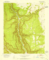
1953 · Navajo Peak
USGS Topo · 1:24,000
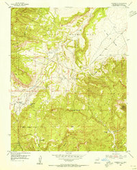
1953 · Youngsville
USGS Topo · 1:24,000